Announcement

Collapse
No announcement yet.

My Adventures Thread

Collapse
X
 
  • Filter
  • Time
  • Show
Clear All
new posts

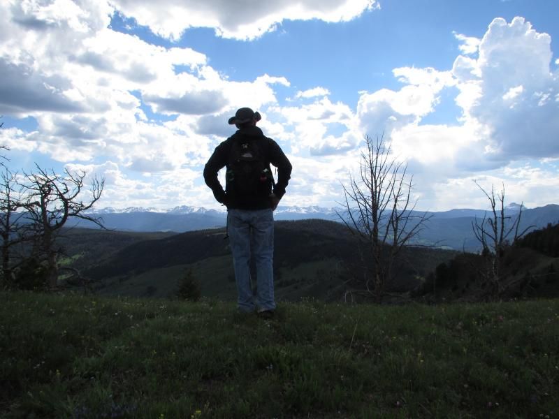
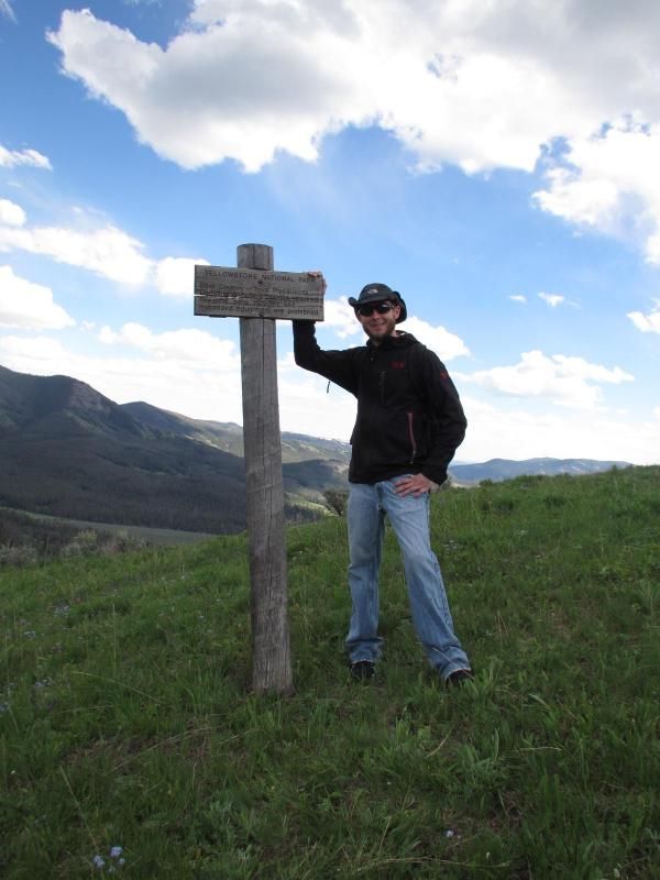
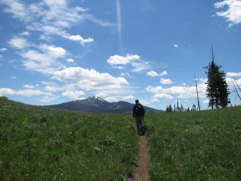
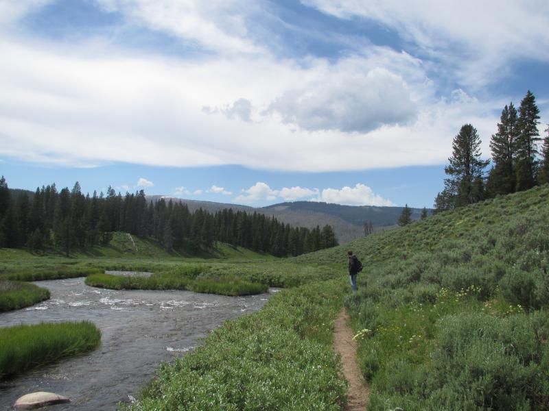
  • Marker 6.1 miles into the hike. Leaving Yellowstone National Park & entering Gallatin National Forest for the last 4.4 miles of the hike.


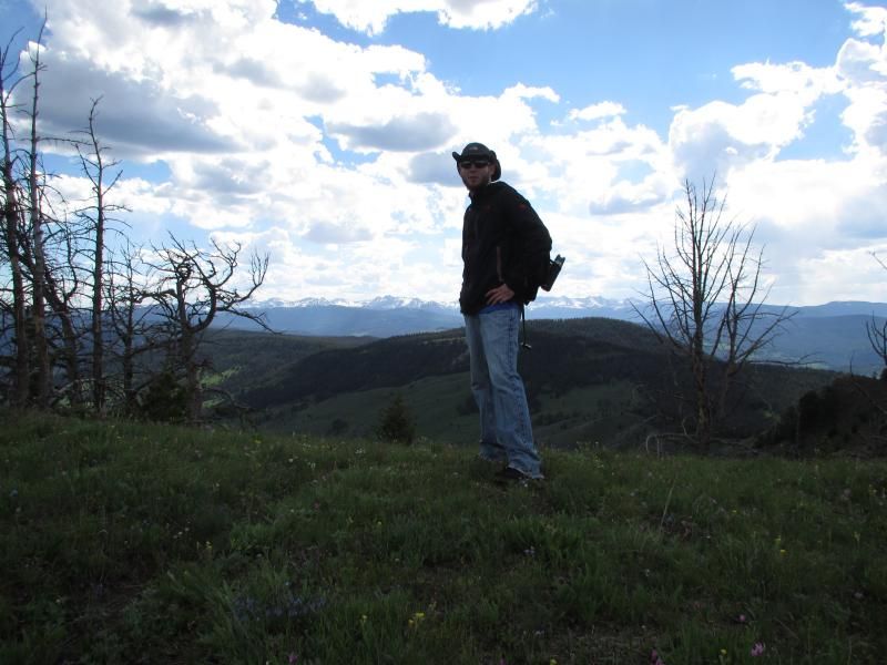
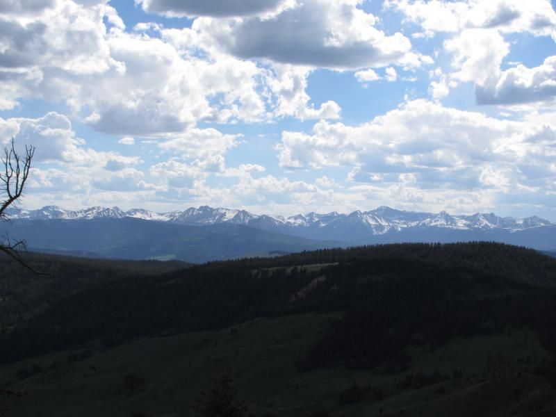
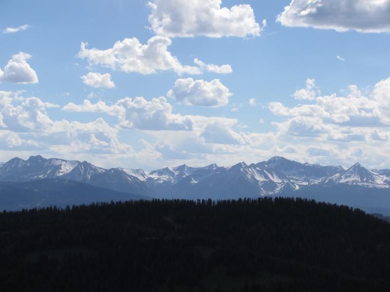
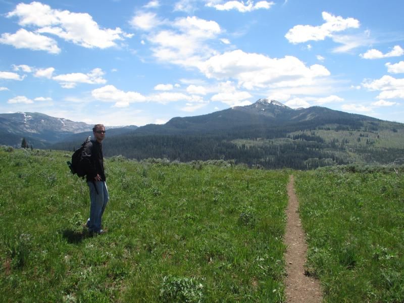
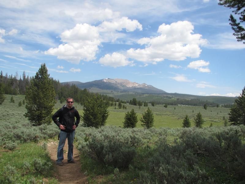
    A closer look at the Madison Range.


    99 Dub Ya Jay

    My Adventures Thread
    http://sisoffroad.com/forums/showthread.php?t=15148

    Comment


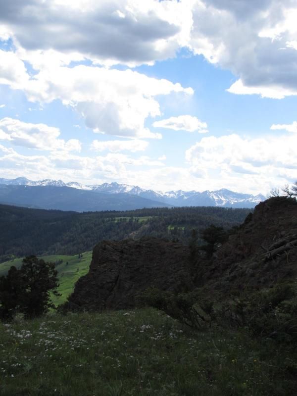
    • Me and the Madison Range again.


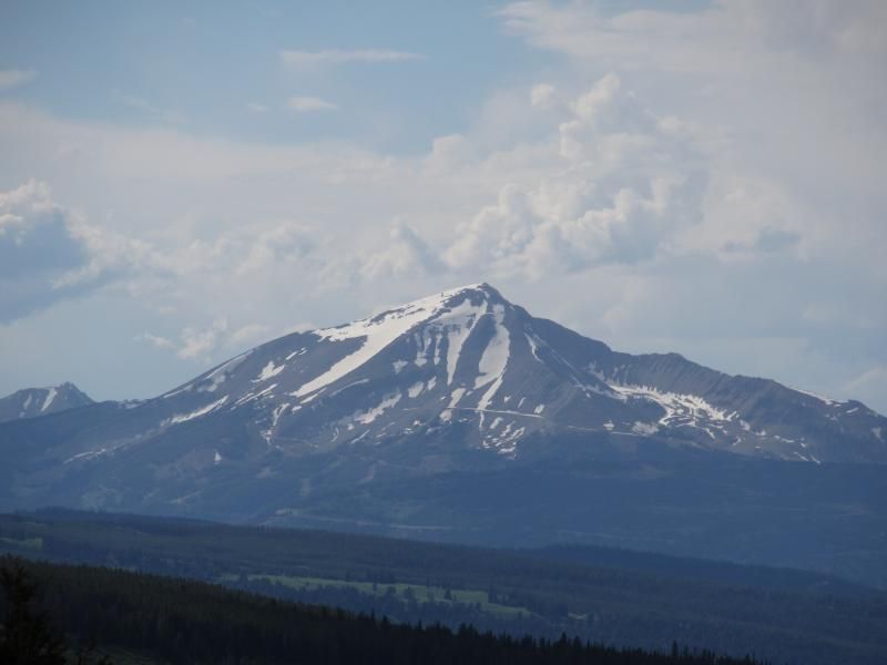
      Lone Peak (11,166 feet) in Big Sky Montana where Big Sky Resort is located to the northwest around 7 miles into the hike. Yes..... I snowboard off the very top in the winter.
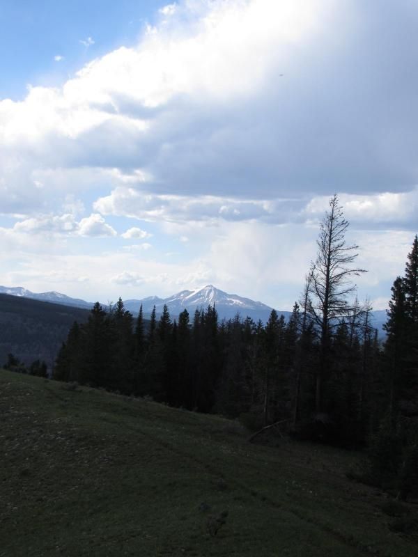


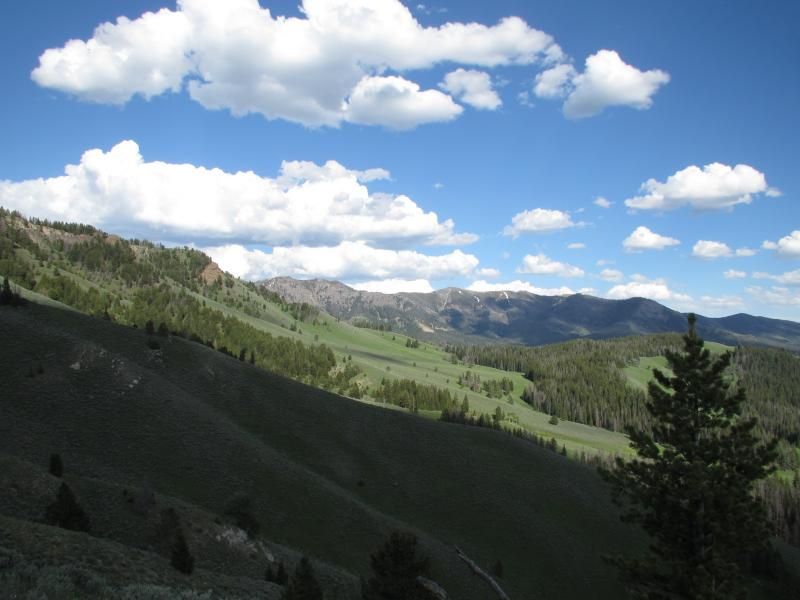
      Heading downhill rapidly 7.25 miles into the hike. The Sky Rim trail is to the center and right. The ridge we hiked is to the left.
      99 Dub Ya Jay

      My Adventures Thread
      http://sisoffroad.com/forums/showthread.php?t=15148

      Comment


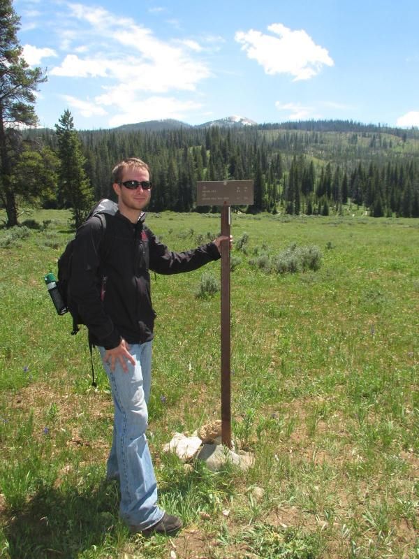
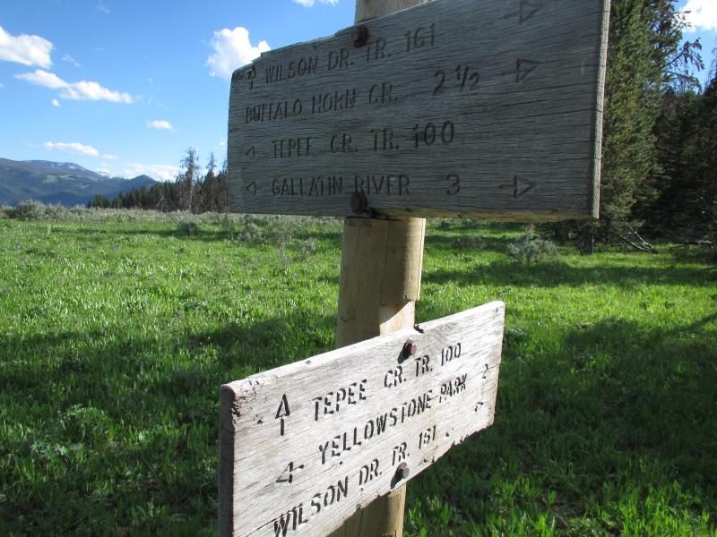
      • A trail marker 7.7 miles into the hike. The trail sign was on the ground and I didn't see it at first. I started to panic for a minute because we didn't know much about the Gallatin section of the trail vs the Yellowstone section of the trail. I was happy when my girlfriend found it on the ground and we propped it back up.
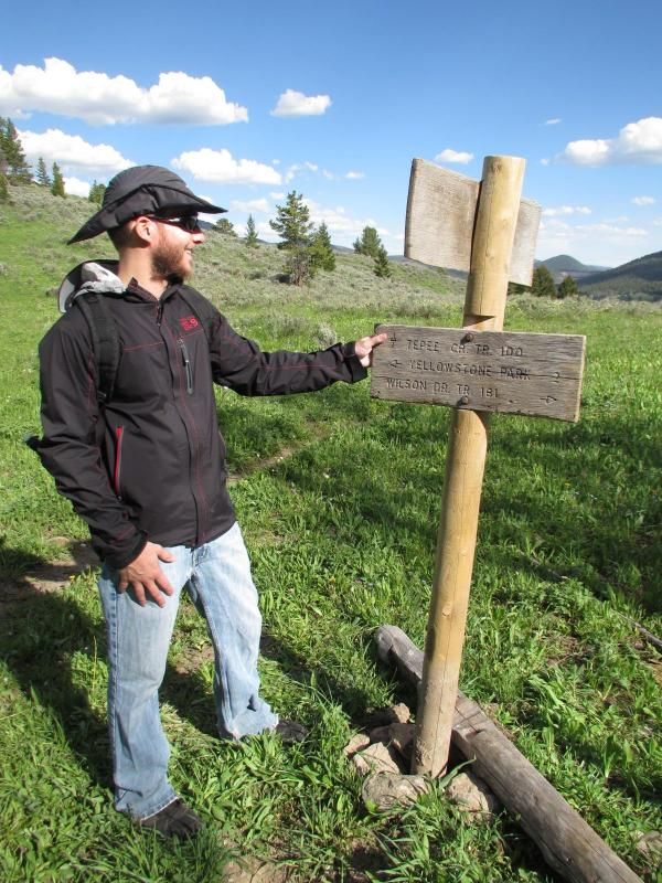


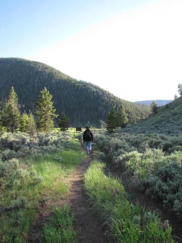
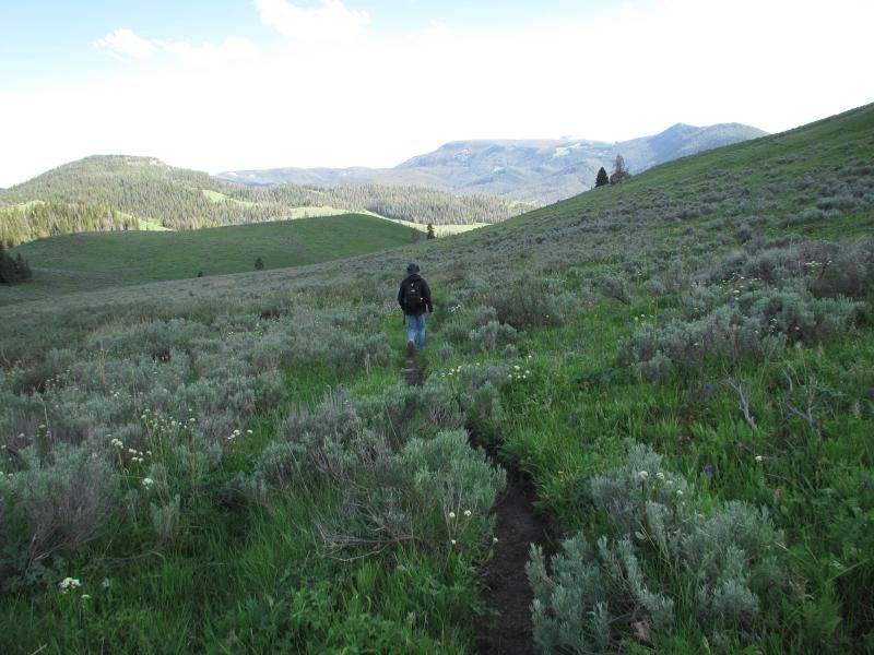
        Still heading downhill, but back in the meadows 8.5 miles into the hike.


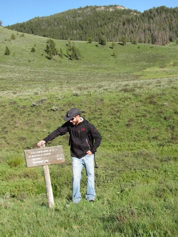
        A trail marker 9.4 miles into the hike. It says "highway 191 2 miles". Nope..... lol only 1.1 miles, which went by pretty quick being on levelish ground again.
        99 Dub Ya Jay

        My Adventures Thread
        http://sisoffroad.com/forums/showthread.php?t=15148

        Comment


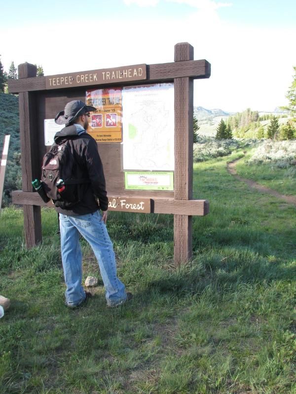
        • Teepee Creek trail head in my grasp.


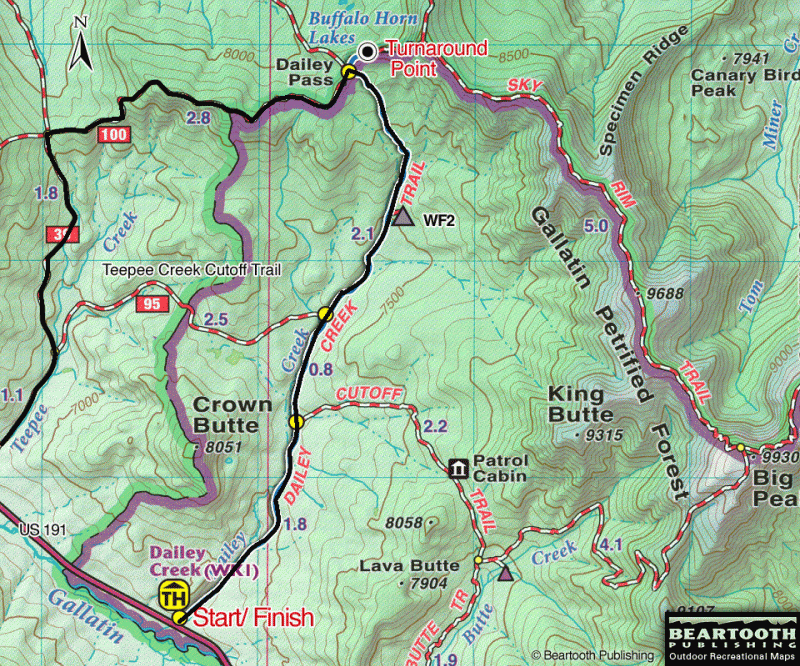
          The 10.5 mile hike took 6 hours. Started at 1pm at the Daly Creek trailhead (6,750 feet) and finished at 7pm at the Teepee Creek trailhead (7,025 feet). We hit 8,500 feet around the 6.1 mile mark for a total elevation gain of 1,750 feet.


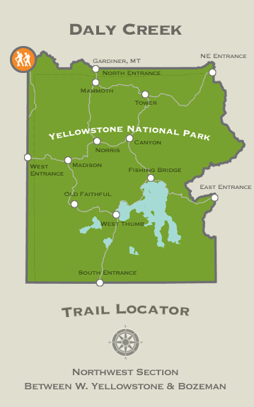
          The Daly Creek trailhead location in Yellowstone National Park.
          99 Dub Ya Jay

          My Adventures Thread
          http://sisoffroad.com/forums/showthread.php?t=15148

          Comment


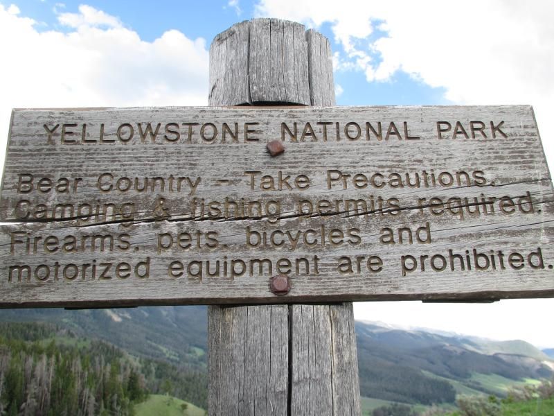
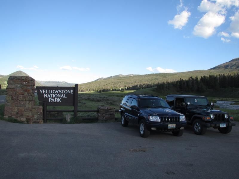
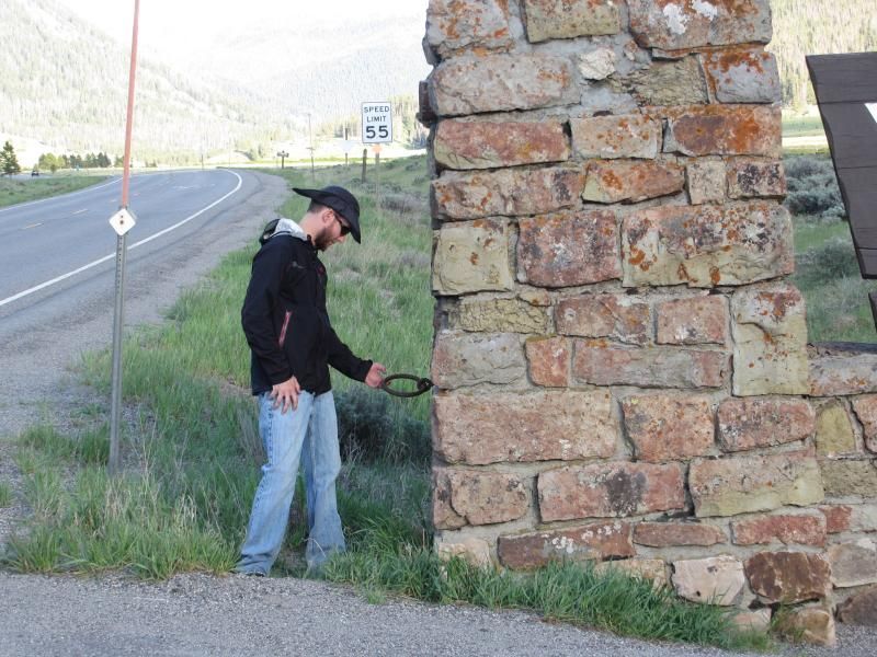
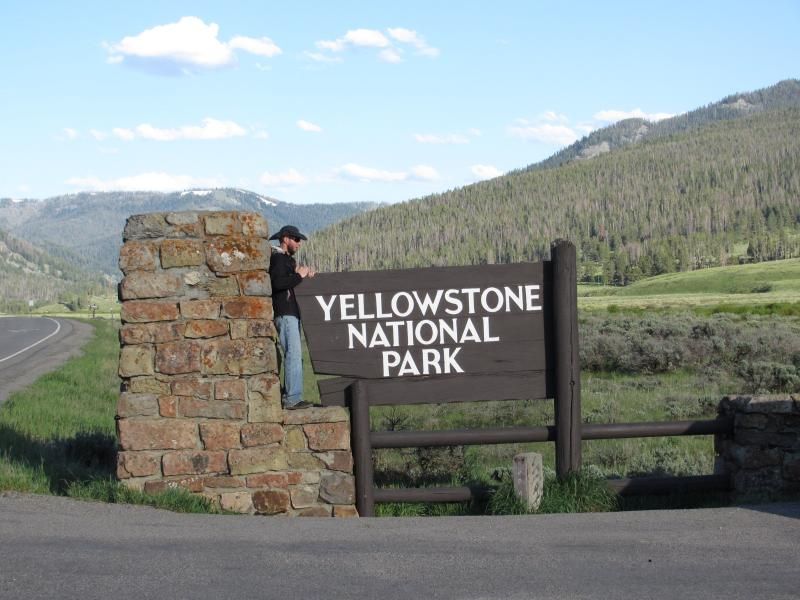
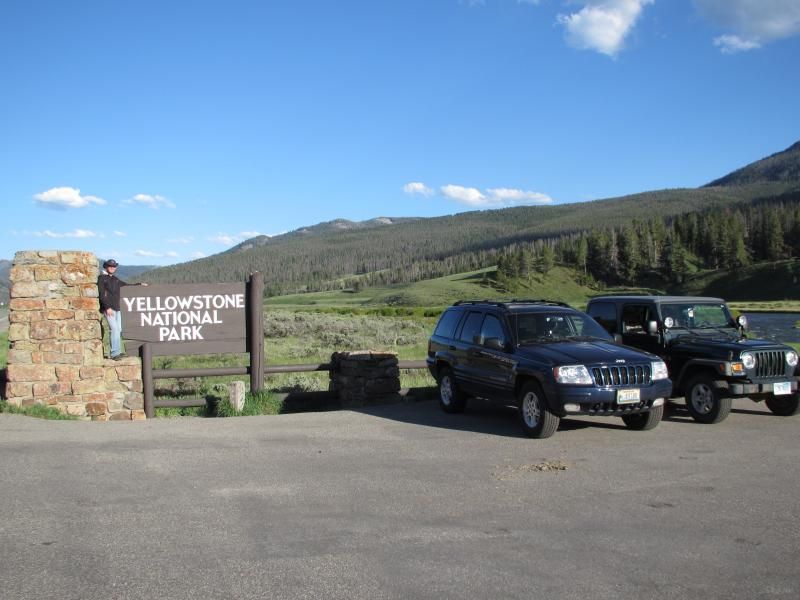
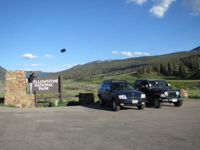
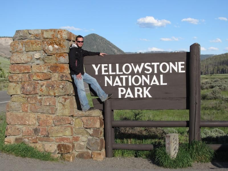
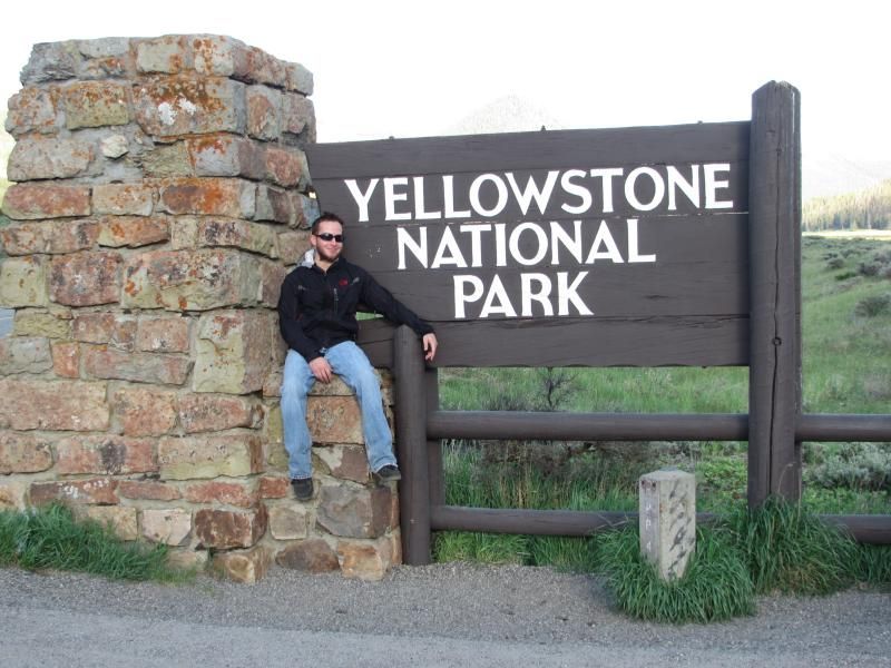
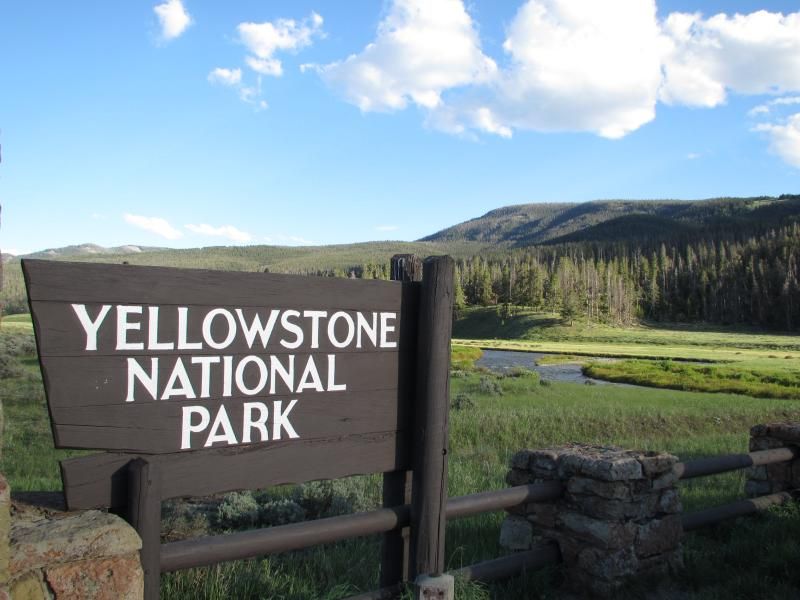
          • Some pictures from the Yellowstone National Park sign on Route 191 halfway between Daly trailhead and Teepee trailhead before heading back to Big Sky.


            99 Dub Ya Jay

            My Adventures Thread
            http://sisoffroad.com/forums/showthread.php?t=15148

            Comment


            • 99 Dub Ya Jay

              My Adventures Thread
              http://sisoffroad.com/forums/showthread.php?t=15148

              Comment


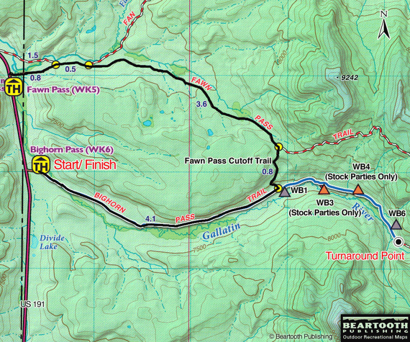
              • I left Big Sky, MT around 900am on July 1st with the goal of hiking from the FawN PaSS trailhead to the BiGHorn PaSS trailhead.

                Left my girlfriend's Jeep at the BigHorn Pass trailhead which is around 37 miles southeast of our place in Big Sky.

                We started hiking from the Fawn Pass trailhead which is around 35 miles southeast of our place in Big Sky.

                I believe the Fawn Pass trail head sign is high up because of snow in the winter time. Trails off US 191 in Yellowstone National Park between Big Sky & West Yellowstone can be used all year round.
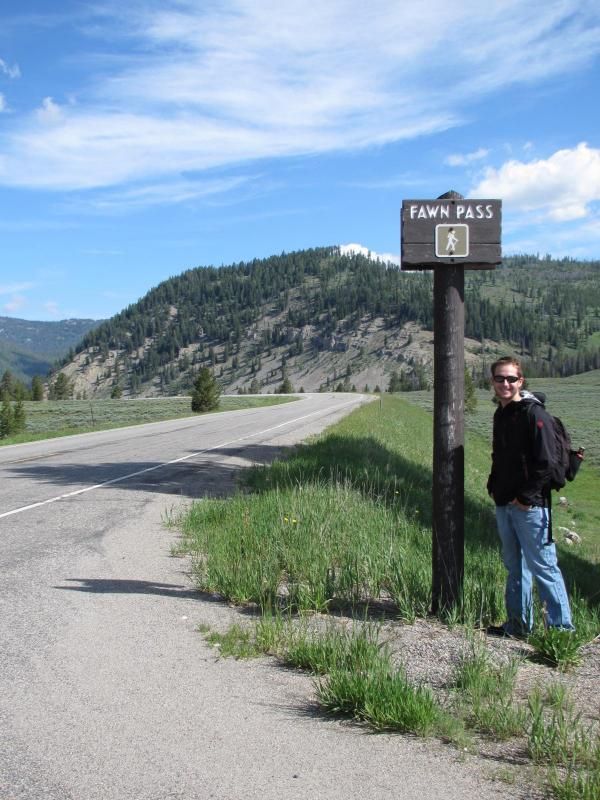
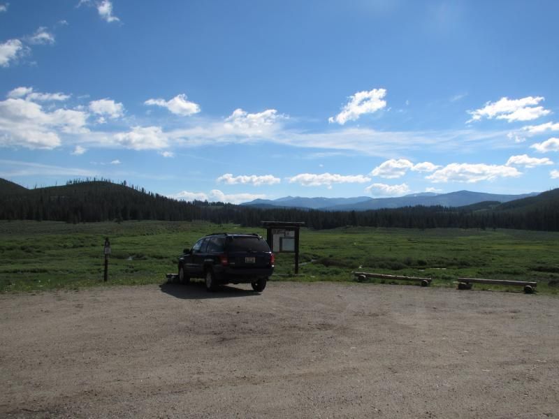


                Set off on the second hike of the season at 1000am.
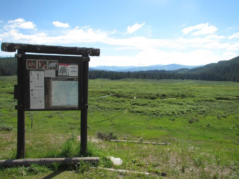


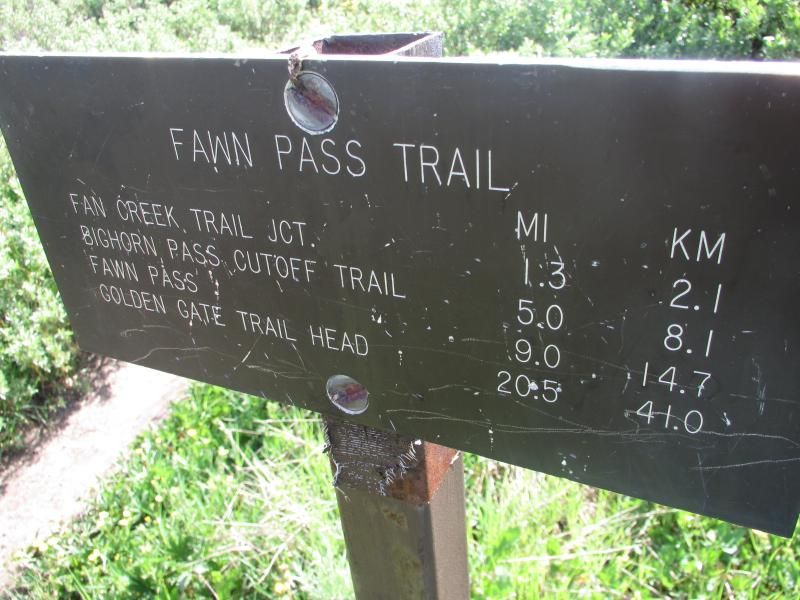
                A beaten up looking trail marker within a few hundred feet of the trail head.


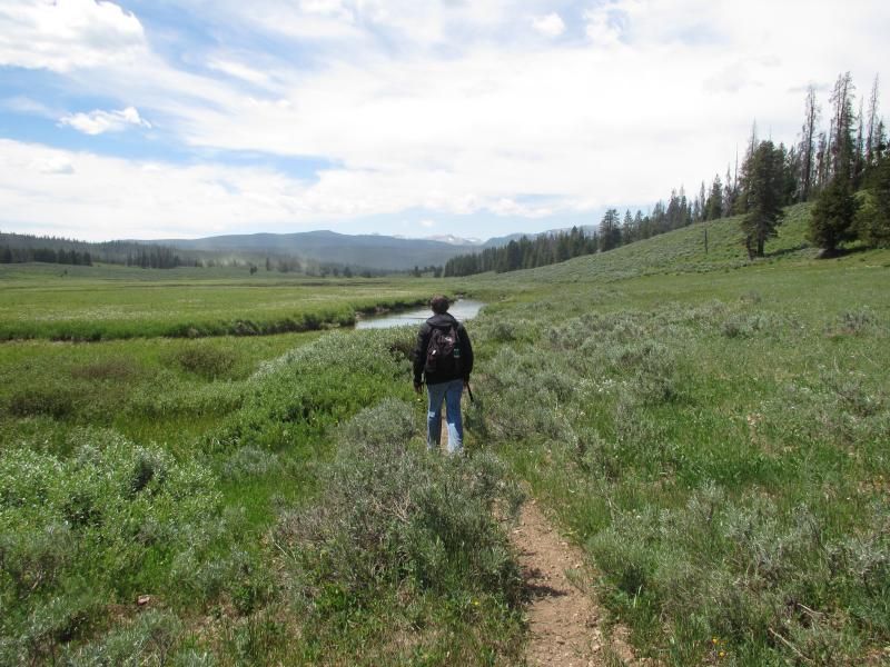
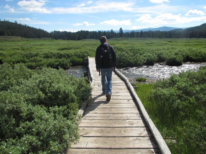
                Crossing part of the Gallatin River .25 of a mile into the hike. We crossed 3 or 4 small wood bridges of all which were the Gallatin.
                Last edited by BOX; 07-11-2013, 06:58 PM.
                99 Dub Ya Jay

                My Adventures Thread
                http://sisoffroad.com/forums/showthread.php?t=15148

                Comment


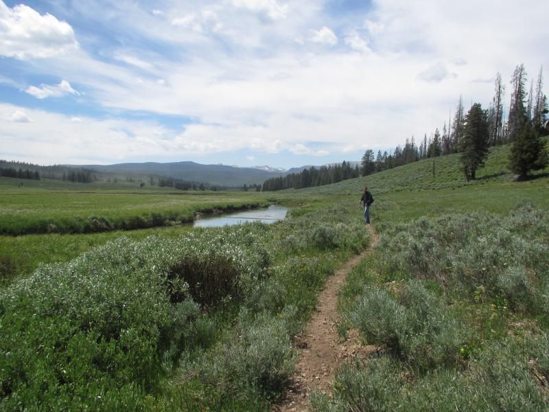
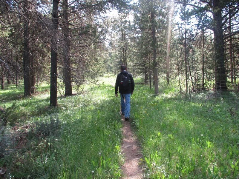
                • Traveling through a lightly wooded area .5 of a mile into the hike.


                  A trail marker .8 of a mile into the hike.
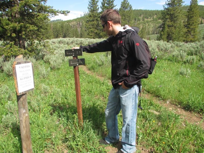


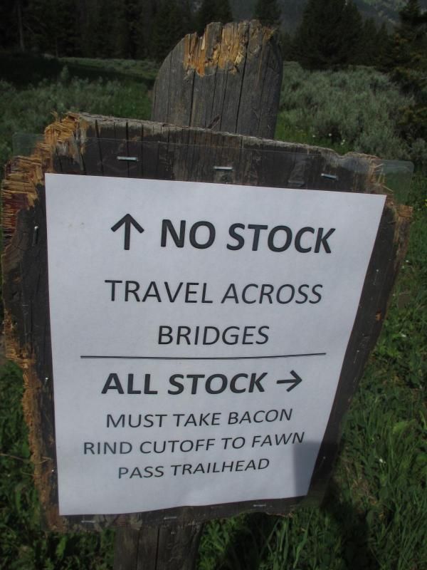
                  Close up of the sign on the left in the picture above. Horse shiat all over the Fawn Pass trail from the .8 of a mile mark to the 5 mile mark was quite annoying....


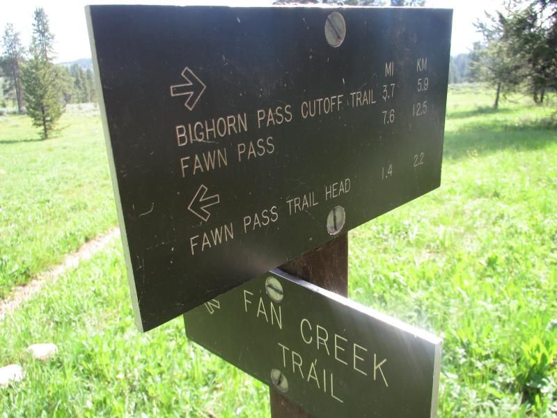
                  A trail maker 1.4 miles into the hike.


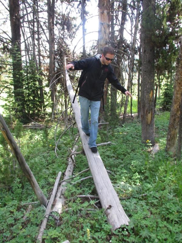
                  Attempting to break my ankle 2.5 miles away from US 191.
                  99 Dub Ya Jay

                  My Adventures Thread
                  http://sisoffroad.com/forums/showthread.php?t=15148

                  Comment


                  • We traveled through a couple wide open meadows with little to no shade from the 1 mile mark to the 5 mile mark.

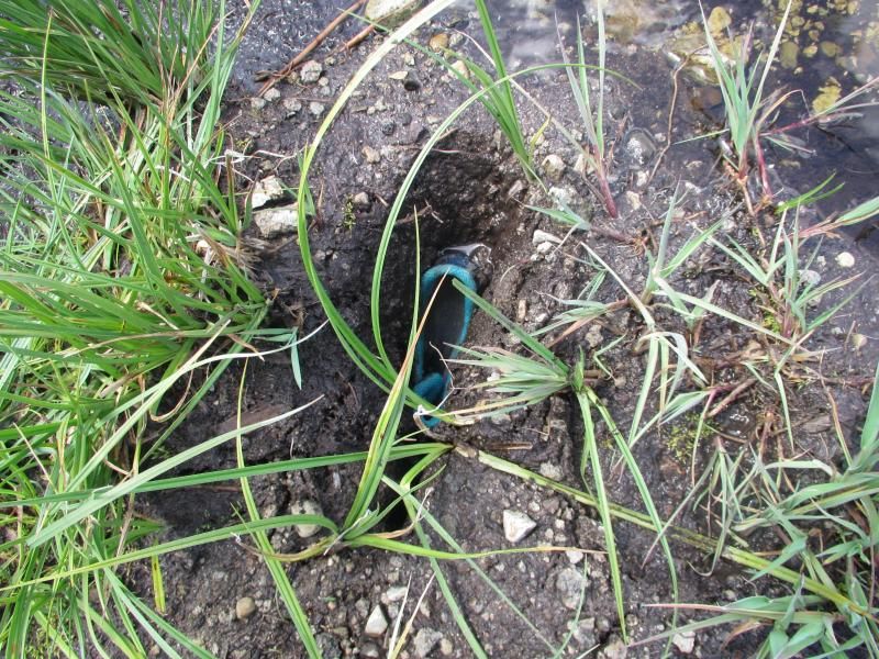
                    4.5 miles into the hike this happened....

                    I crossed the slow moving shallow stream first and my foot sunk 5 6 7 8 inches maybe. My girlfriend then crossed and her foot sunk 1.5 - 2 feet up to her knee and the Earth claimed one of her $125 Brooks trail running shoes.

                    We tried to recover the shoe for nearly 30 minutes before giving up. The harder we pulled the more stuck it became.


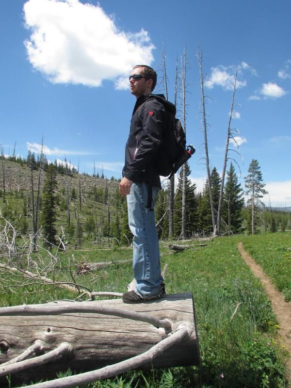
                    Checking out the trail ahead on a water break 4.75 miles into the hike.

                    I typically go through 32 ounces of water for every 5 miles hiked.


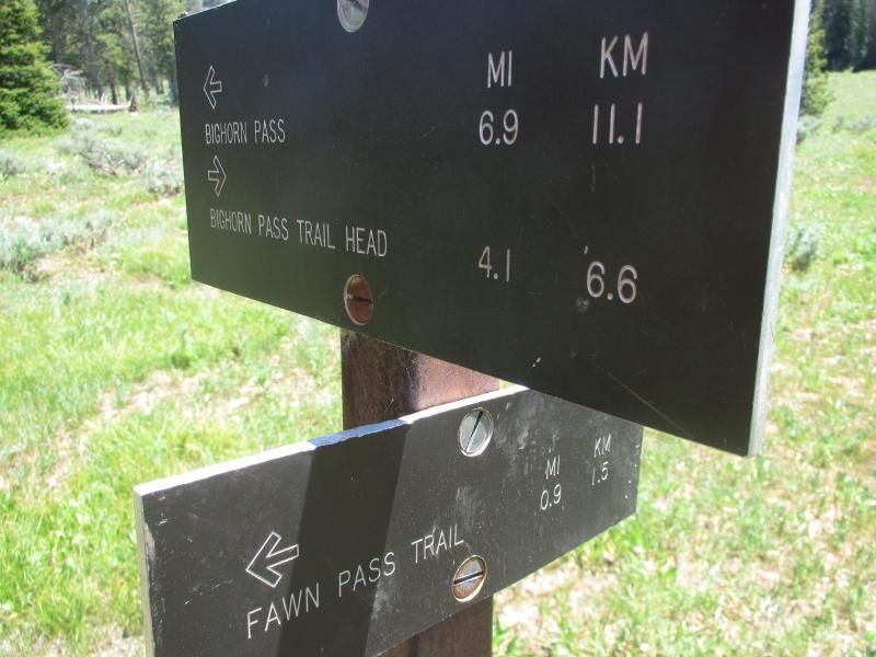
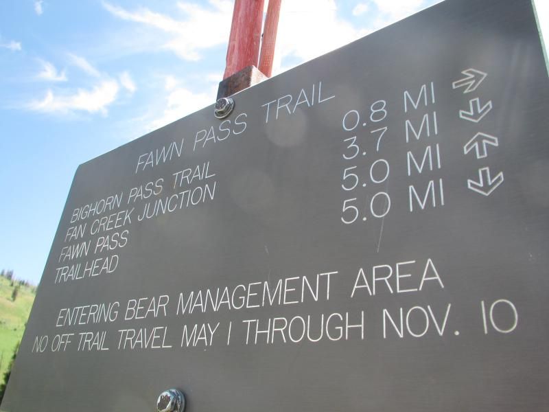
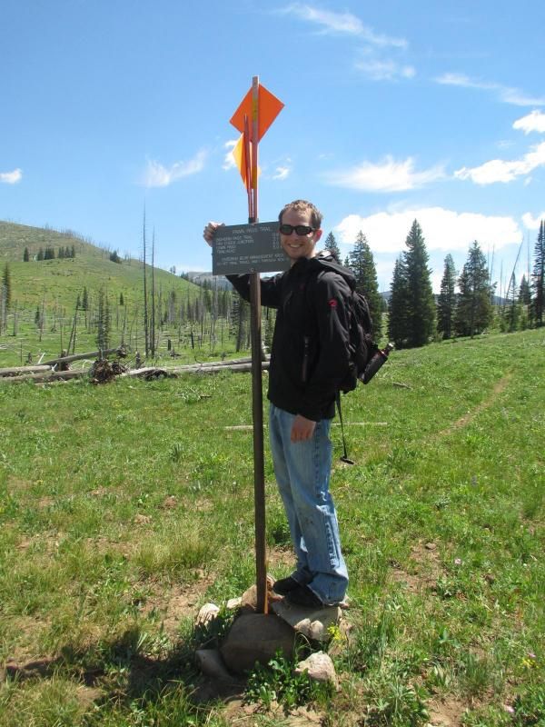
                    A trail marker 5 miles into the hike. We hang a right to connect from the Fawn Pass trail to the BigHorn Pass trail.

                    99 Dub Ya Jay

                    My Adventures Thread
                    http://sisoffroad.com/forums/showthread.php?t=15148

                    Comment


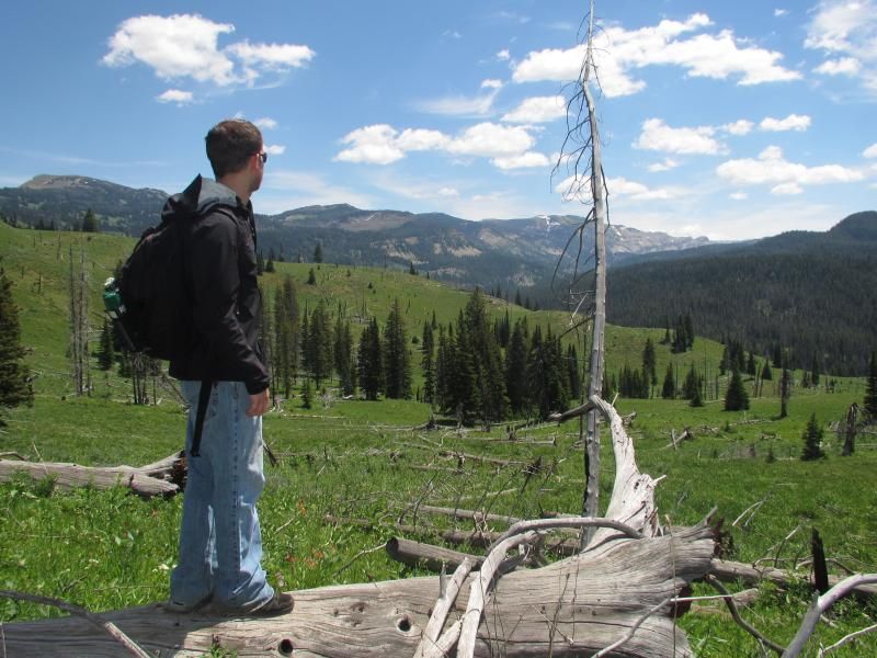
                    • 5.25 miles into the hike at 7,850 feet in elevation, which was the highest elevation we hit on this hike.


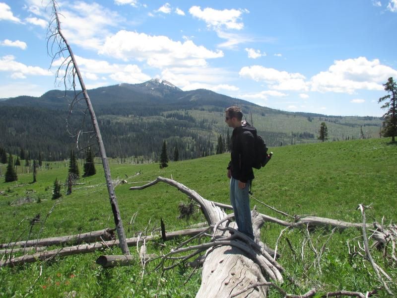
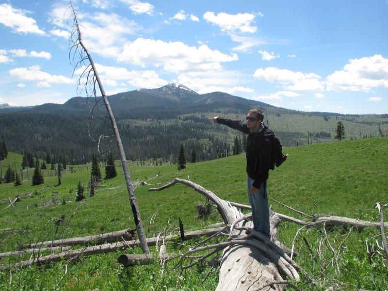
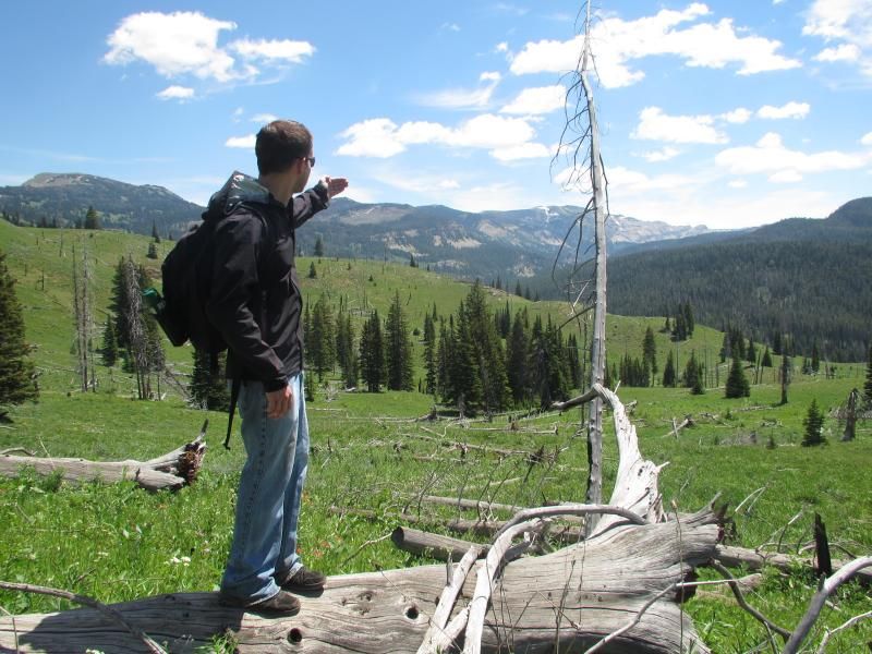
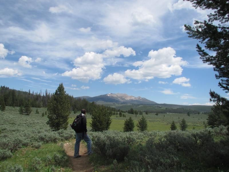
                      5.5 miles into the hike pointing out where BigHorn Pass is.


                      99 Dub Ya Jay

                      My Adventures Thread
                      http://sisoffroad.com/forums/showthread.php?t=15148

                      Comment


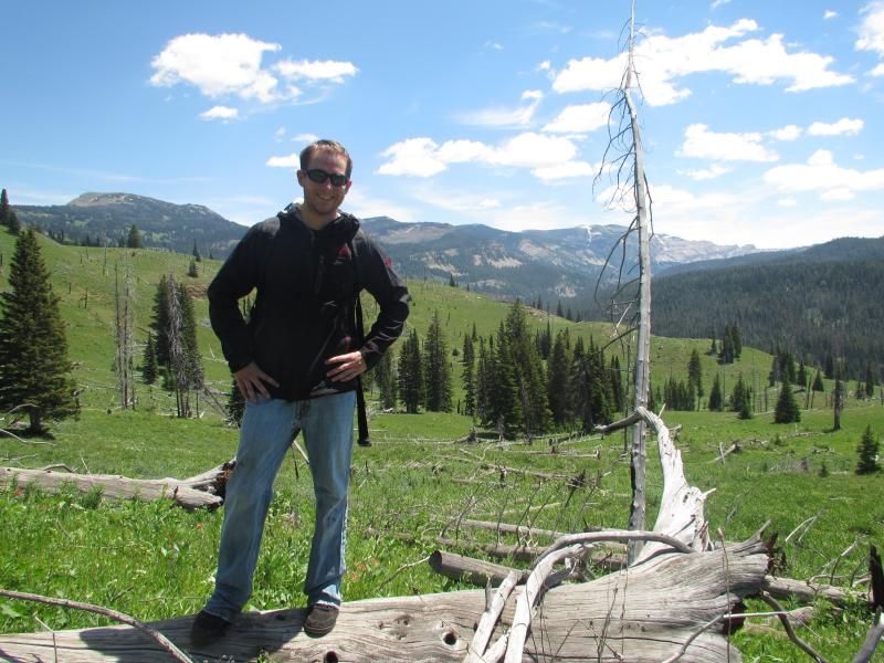
                      • Still at 5.5 miles pointing out where Fawn Pass is.


                        A trail marker 6 miles into the hike. We hang a right towards the BigHorn Pass trail head.


                        99 Dub Ya Jay

                        My Adventures Thread
                        http://sisoffroad.com/forums/showthread.php?t=15148

                        Comment


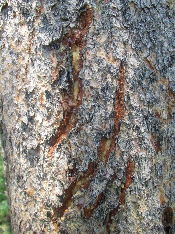
                        • 7 miles into the hike a bear slashed this tree.


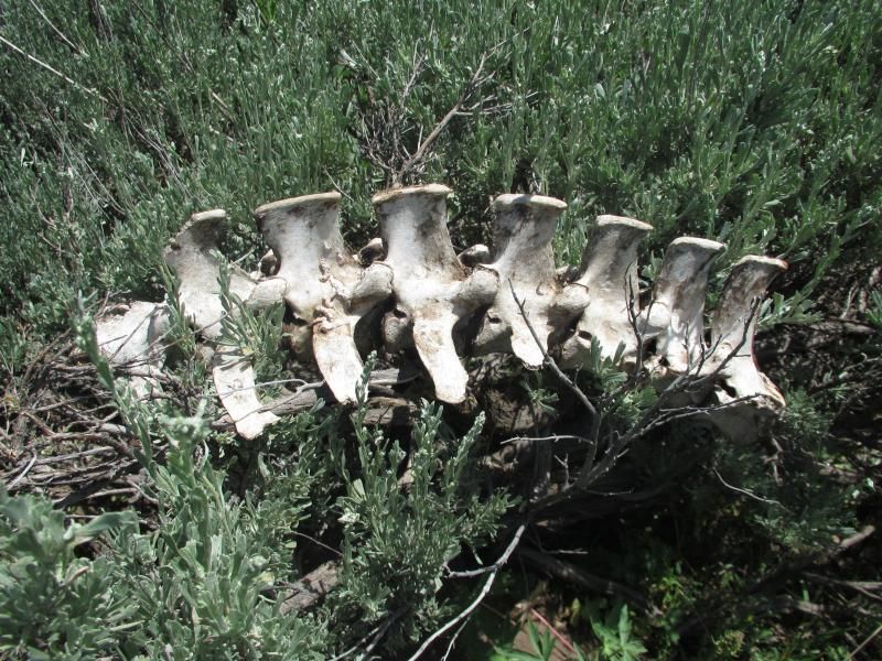
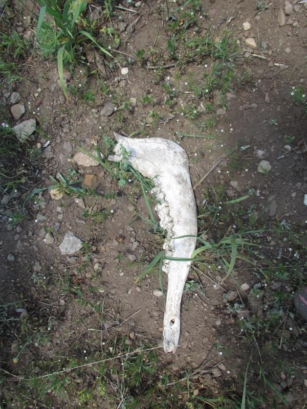
                          7.5 miles into the hike some animal bones.


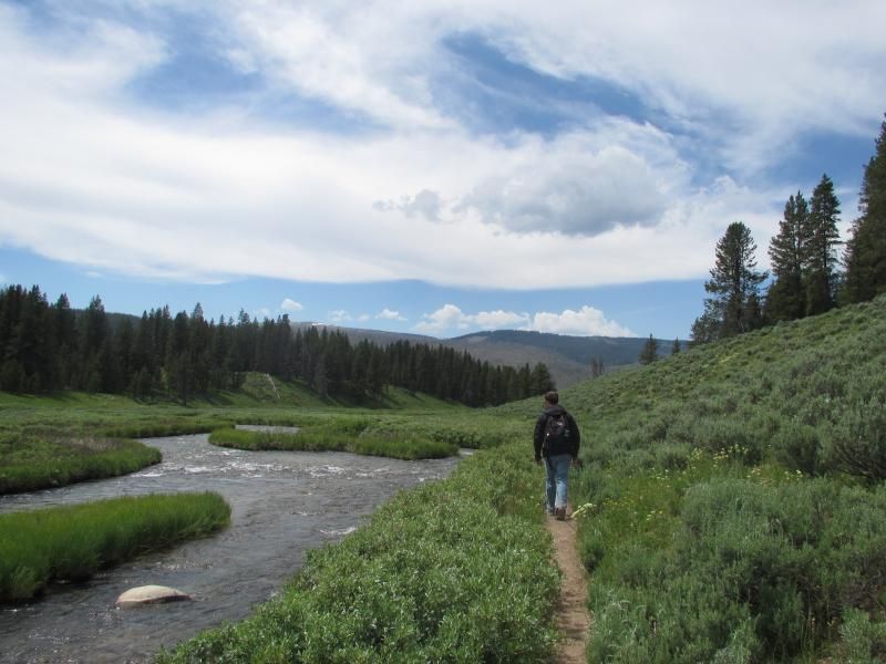
                          8.5 miles into the hike near a tributary of the Gallatin River.


                          99 Dub Ya Jay

                          My Adventures Thread
                          http://sisoffroad.com/forums/showthread.php?t=15148

                          Comment


                          • 9 miles into the hike looking east from where we came.


                            9.25 miles into the hike near the same tributary of the Gallatin River.


                            99 Dub Ya Jay

                            My Adventures Thread
                            http://sisoffroad.com/forums/showthread.php?t=15148

                            Comment


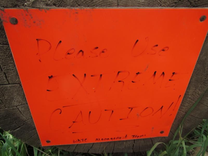
                            • 9.5 miles into the hike crossing part of the Gallatin River using "Extreme Caution". Apparently the main bridge was taken out 2 years ago during spring runoff.
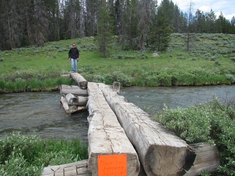
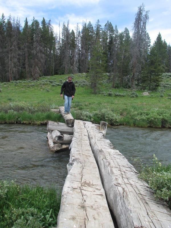


                              Still 9.5 miles into the hike crossing a much smaller section of the Gallatin River looking back east.
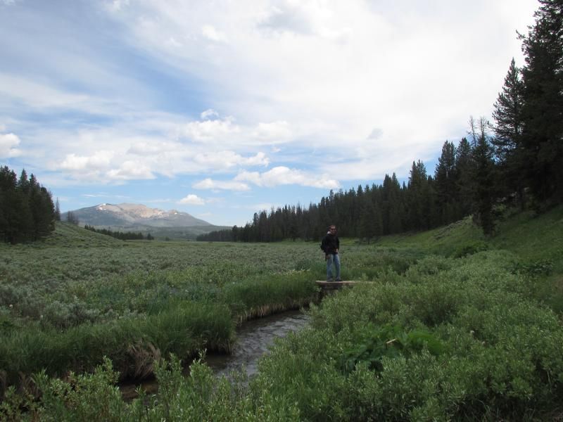


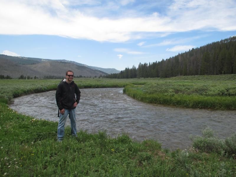
                              9.75 miles into the hike with the Gallatin behind me.
                              99 Dub Ya Jay

                              My Adventures Thread
                              http://sisoffroad.com/forums/showthread.php?t=15148

                              Comment


                              • The 10 mile hike took 5 hours, which includes the 30 minute shoe incident. Started at 10am at the Fawn Pass trailhead (7,125 feet) and finished at 3pm at the BigHorn Pass trailhead (7,225 feet). We hit 7,850 feet around the 5.25 mile mark for a total elevation gain of 725 feet.
                                Over 1,000 feet less elevation gain than our last hike. We have also hiked 20.5 miles this season without seeing another person on the trail.


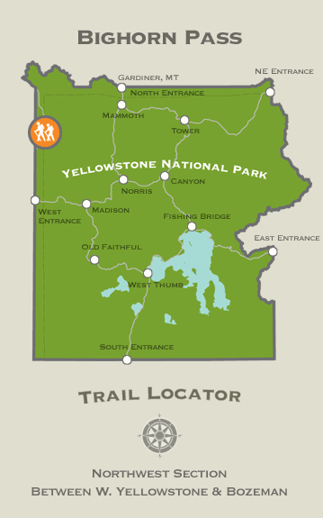
                                The Bighorn Pass trailhead location in Yellowstone National Park.
                                99 Dub Ya Jay

                                My Adventures Thread
                                http://sisoffroad.com/forums/showthread.php?t=15148

                                Comment
                                Working...
                                X