Announcement
Collapse
No announcement yet.
My Adventures Thread
Collapse
X
-
-
The 6 mile hike took 3 hours. Started at 330pm and finished at 630pm. The trail varied in elevation from 6,750 feet to 6,900 feet. A net elevation gain of only 150 feet.
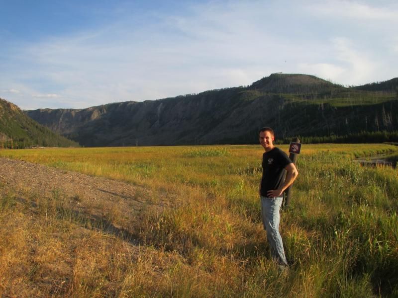
The first picture below is a few feet south of seven mile bridge.
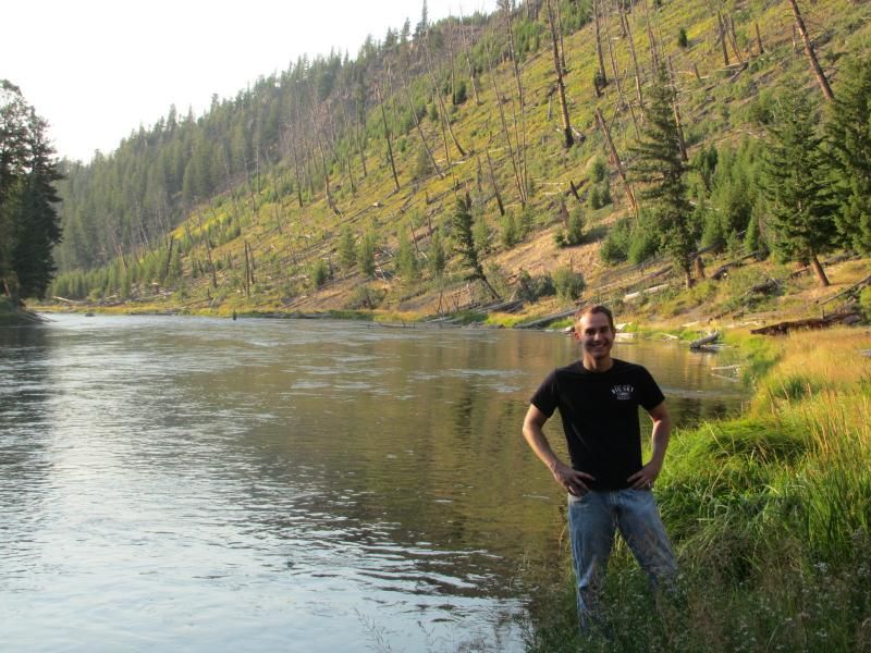
The second picture below is a few feet north of seven mile bridge next to the Madison River.
We never found the patrol cabin & I'm not sure we will ever hike Cougar Creek again.
Comment
-
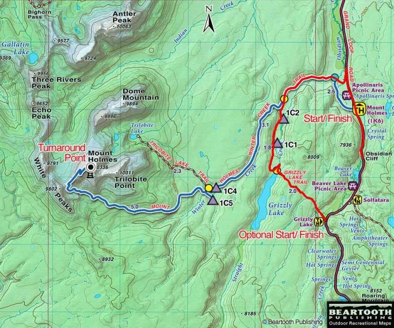
I left from Canyon Village, WY around 415pm on August 27th with the goal of hiking from Grizzly Lake trailhead to Mount Holmes trailhead.
The trail head is around 18 miles northwest of Canyon Village.
The trail head is around 7,450 feet in elevation.
Left at 445pm.

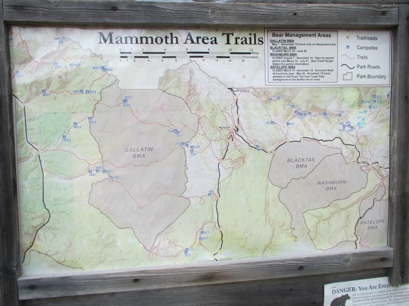
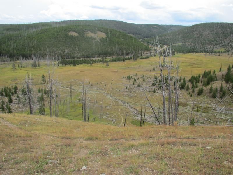
.25 of a mile into the hike. Looking back towards the trailhead and road between Norris & Mammoth.
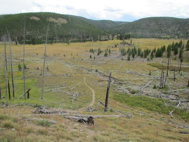
.5 of a mile into the hike. Looking back after approximately 10 short switchbacks.
Comment
-
1.5 to 1.75 miles into the hike. First view of Grizzly Lake & Mount Holmes (elevation 10,335 feet).
There are 3 fire towers manned all summer long located on Mount Holmes, Mount Sheridan & Mount Washburn.
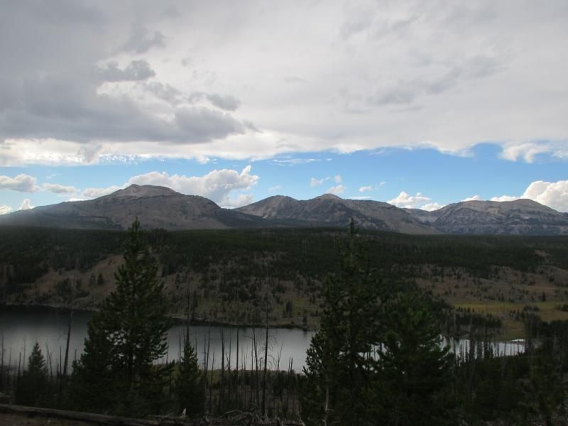

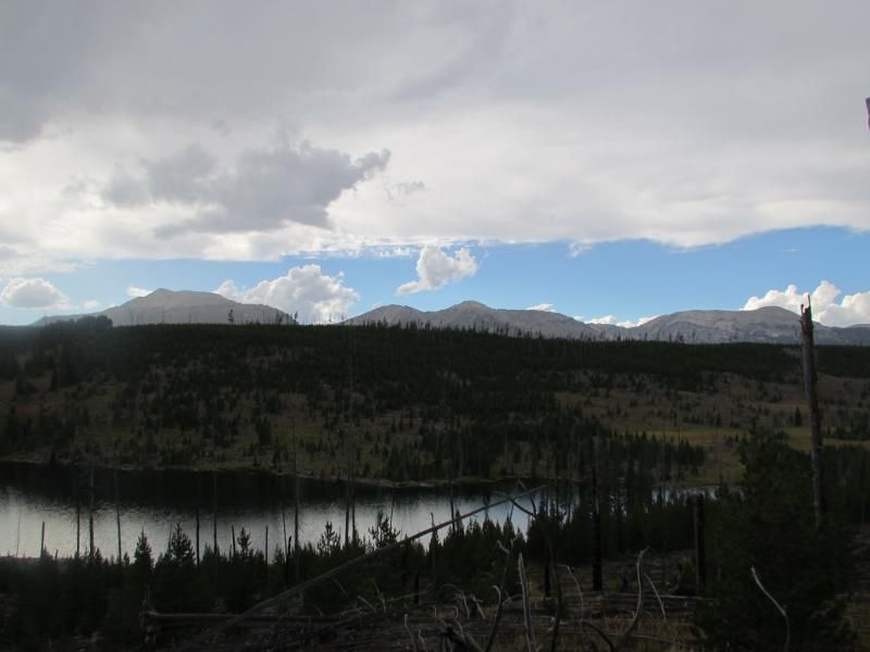
2 miles into the hike on the shores of Grizzly Lake after approximately 10 short switchbacks down to the lake.


Comment
-
Comment
-
-
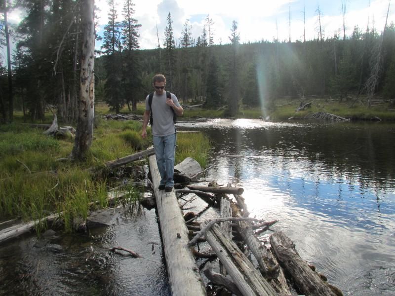
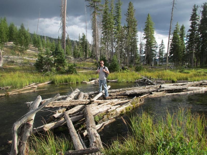
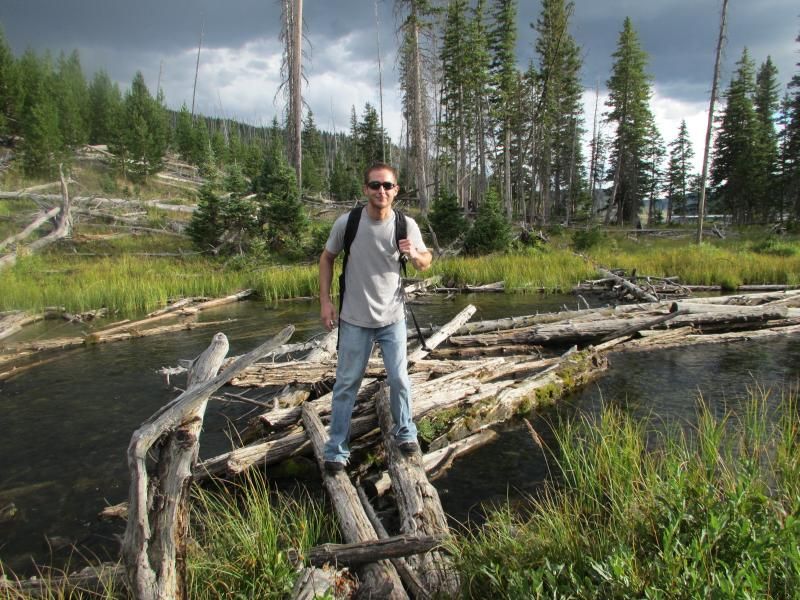
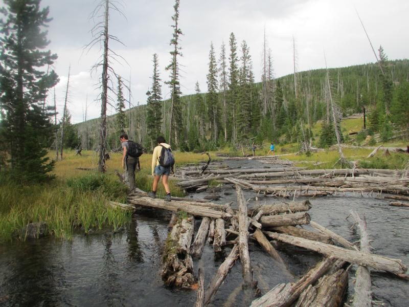
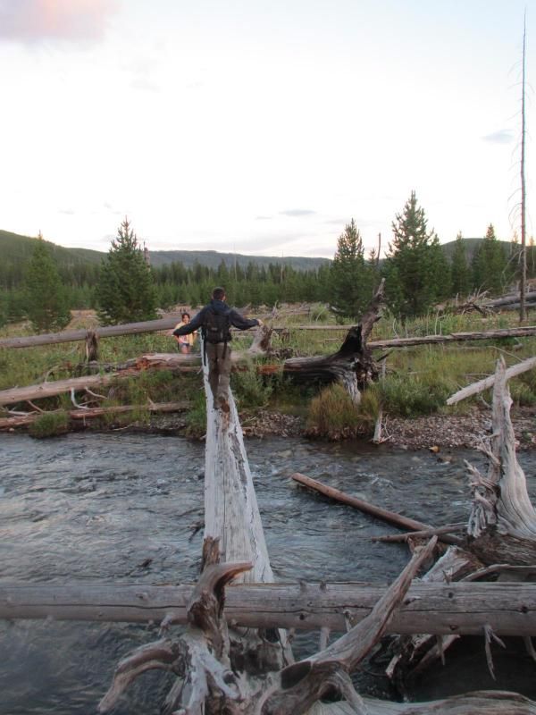
Crossing Straight Creek very carefully....
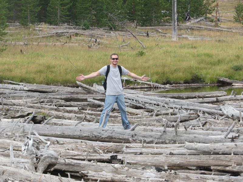
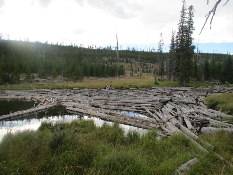
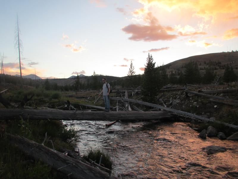
After crossing the creek it took the 4 of us nearly 20 minutes to find the trail. We crossed at the wrong spot. The trail was directly across from the massive log jam and not the tiny one.
Looking back....
We should have spent 20 minutes less at the lake and we wasted another 20 minutes searching for the trail.

Comment
-
Comment
-
-
Comment
-
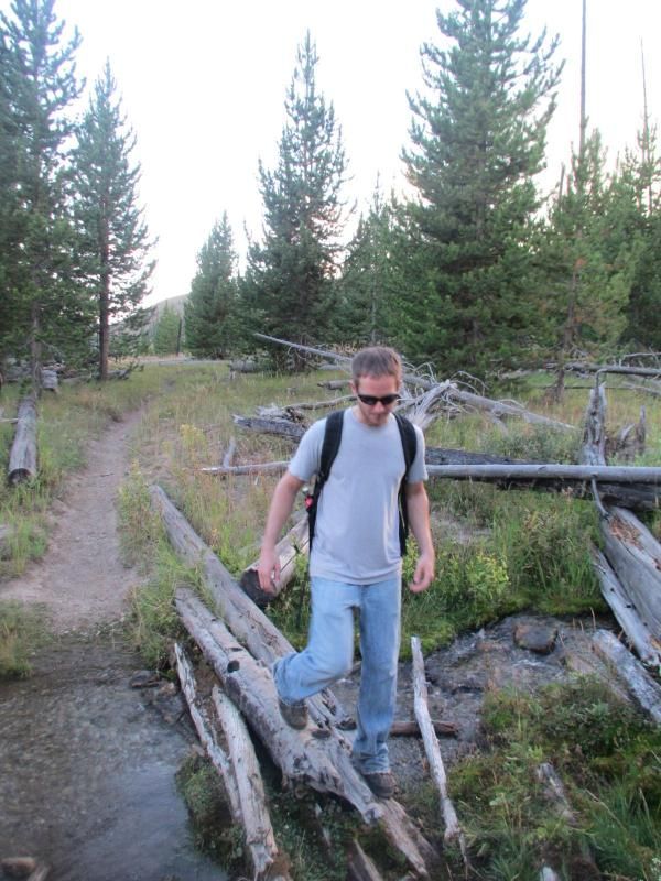
6 miles into the hike plus a hundred feet. After crossing Winter Creek we climbed around and over a lot of fallen trees.
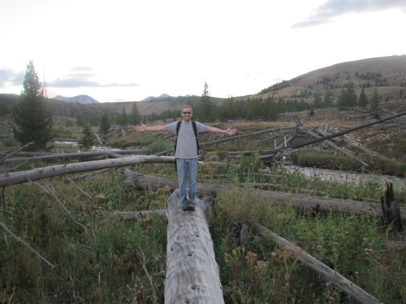
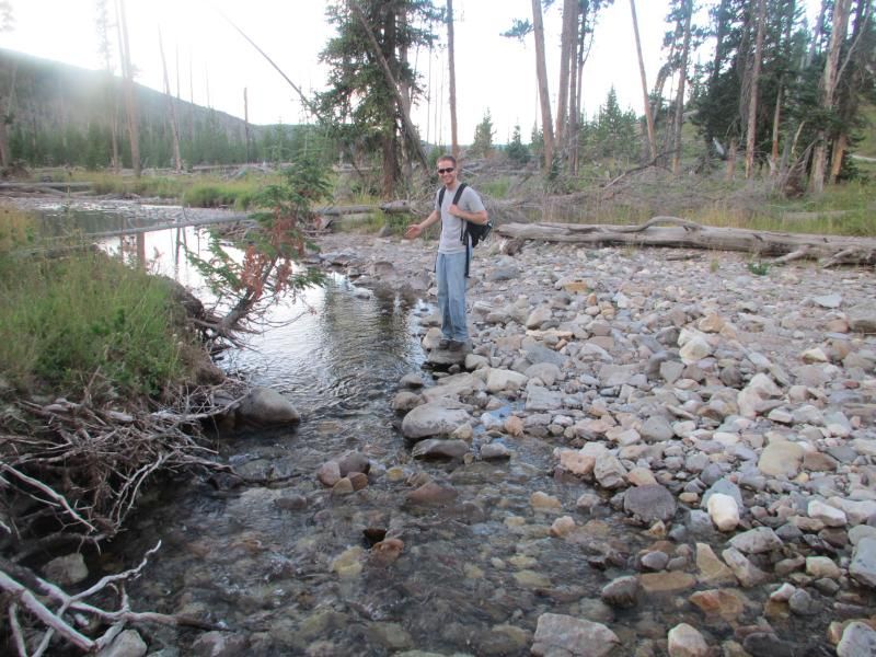
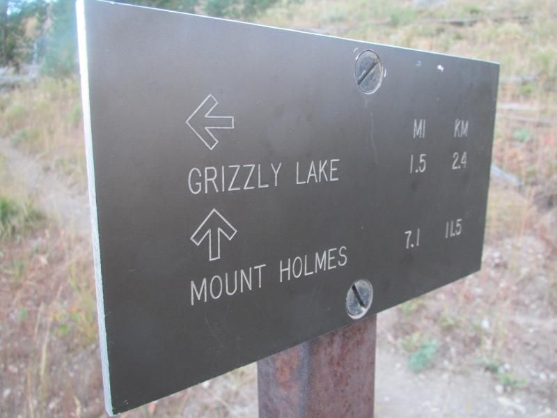
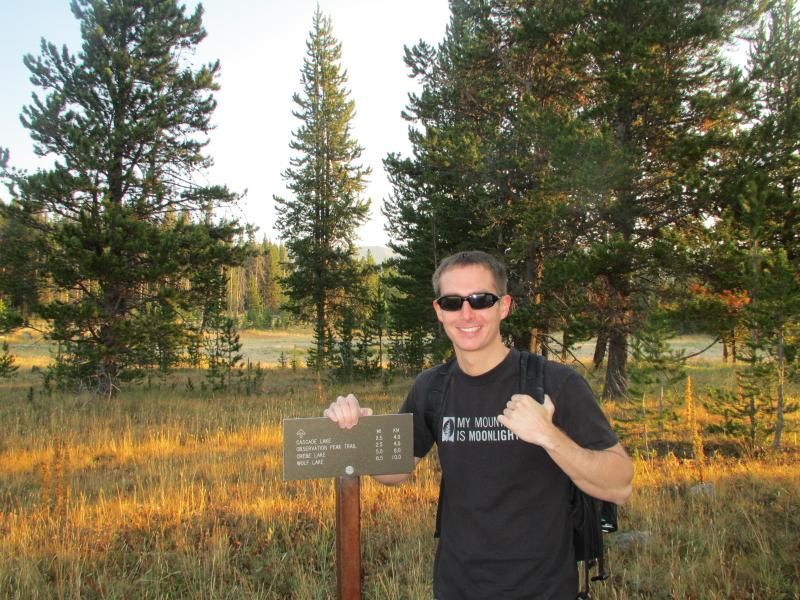
6.5 miles into the hike. A couple hundred feet after crossing Winter Creek we came out on the trail. We took a left turn, which ended up being the wrong way. After literally walking in circles for almost 40 minutes we crossed an ankle to knee deep stream within a hundred feet of the sign below.
We should have taken a right turn after crossing Winter Creek, but from the creek we could see and hear the road, which I believe affected our judgement. Near any water in the park always beware of fishing trails.

7.5 miles into the hike. After walking 1 mile on the road. The Mount Holmes trailhead, which is where we had planned on ending the hike.

The 8.5 mile hike took 5 hours. Started at 445pm and "finished" at 945pm. The trail varied in elevation from 7,300 feet to 7,850 feet. A net elevation gain of 550 feet.
The first 6.5 miles was on the trail with daylight and the last 2 miles was on the road in the dark. We spent 20 minutes too long at the lake, 20 minutes looking for the trail near the lake and 30 minutes looking for the trail close to dusk near the road. Over 1 hour wasted, which is why the 4 of us ended up getting a ride from a park ranger still 2 miles from my Jeep.
It rained on us a little, but not enough to put my rain jacket on. The temperature was in the 70s at the start and in the 40s at the finish. The combination of wet feet, cold temperatures and nightfall made my legs feel numb over the last 2 miles on the road.
Note to self.... My headlamp sucks and I desperately need a different one or a mag light.
 Last edited by BOX; 09-12-2013, 04:19 AM.
Comment
-
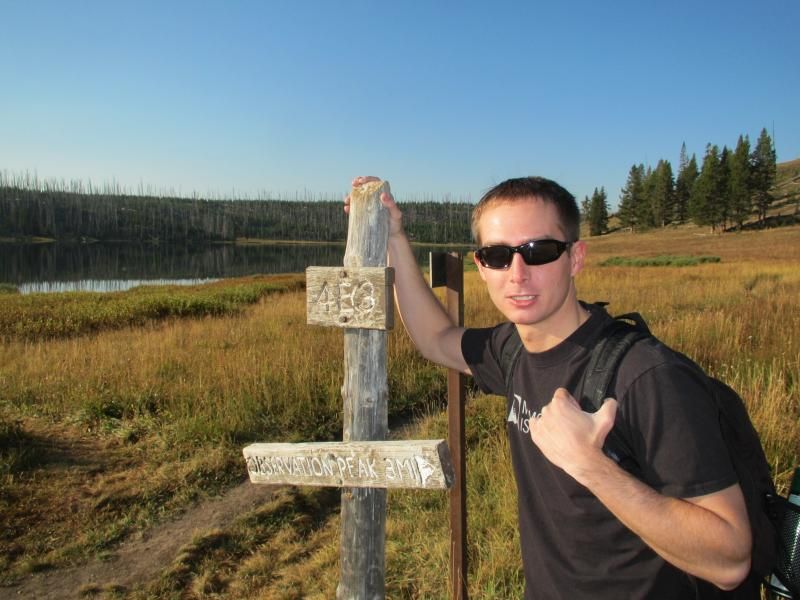
I left from Canyon Village, WY on August 31st with the goal of hiking from Cascade Creek th to Obervation Peak to Cascade Lake th.
My parents were in the park for a week visiting from the giant city of Connecticut.
Connecticut has half a million more people than Idaho, Montana and Wyoming combined. Connecticut would also fit into the 3 states over 60 times.
My Dad and I decided to walk from Canyon Village to Cascade Creek trailhead.
Left at 715am.
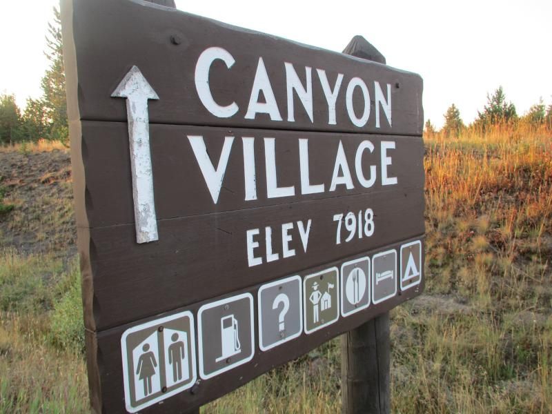
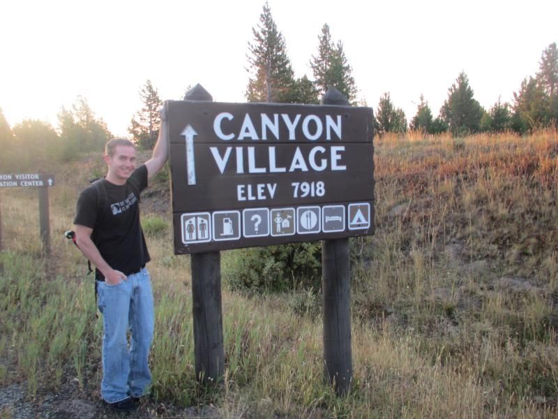
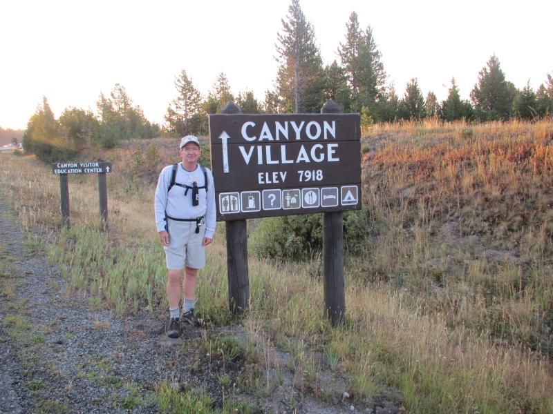
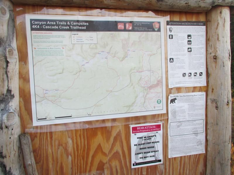
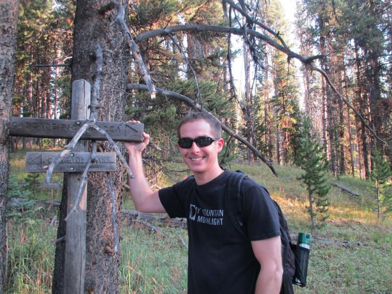
.75 of a mile into the hike at the Cadcade Creek trailhead on Norris-Canyon road.


Comment
-
Comment
-
Comment
-
Comment















Comment