 Tweet
Tweet
A GUY
-
- Will

Originally posted by fizzyOriginally posted by DizzDizz -
ON THE BUFFALOOOOOOOOOOOOOOOO.Originally posted by HeavyMetal View Post2000 XJ: "The Black Jeep"MK2 Jetta > M3Chairman of the Chechnyan Space ProgramComment
-
Comment
-
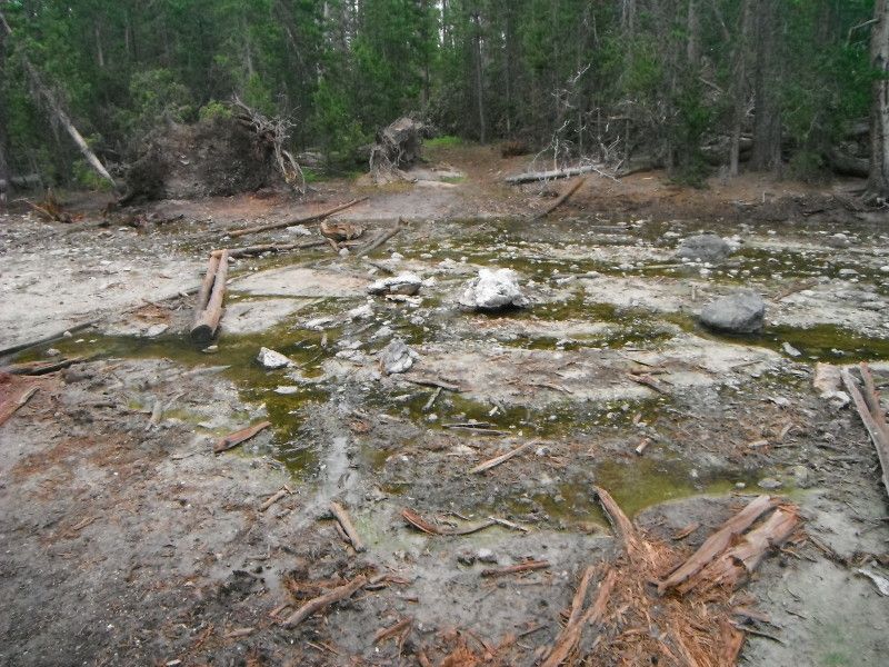
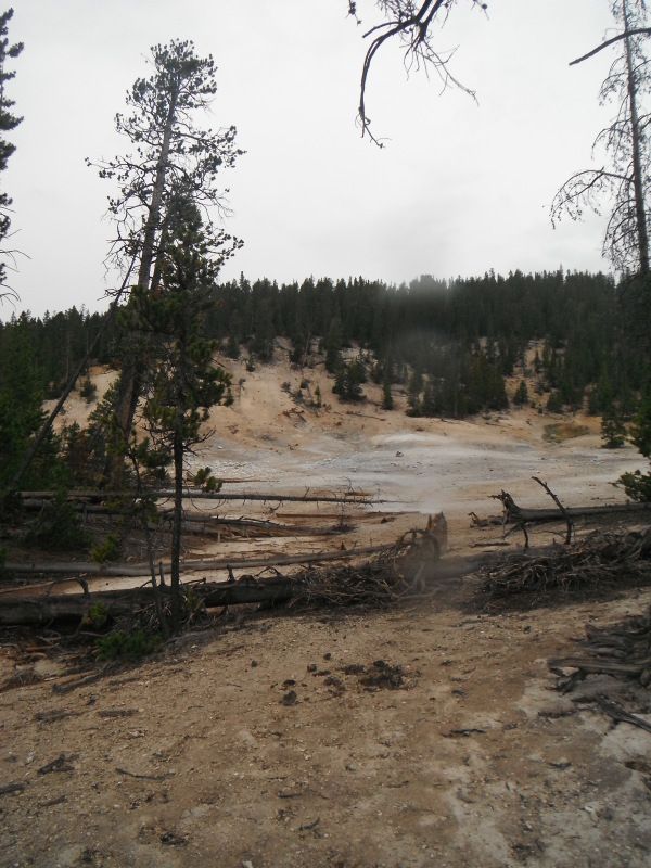
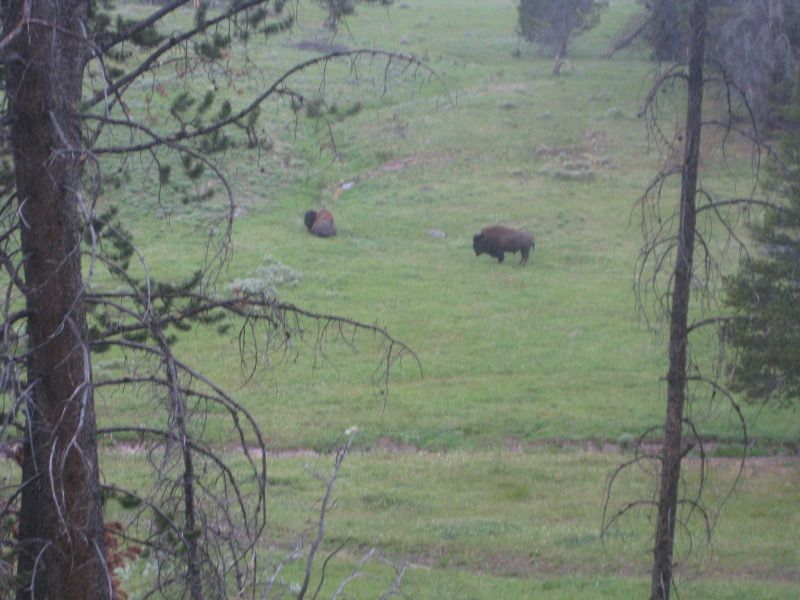
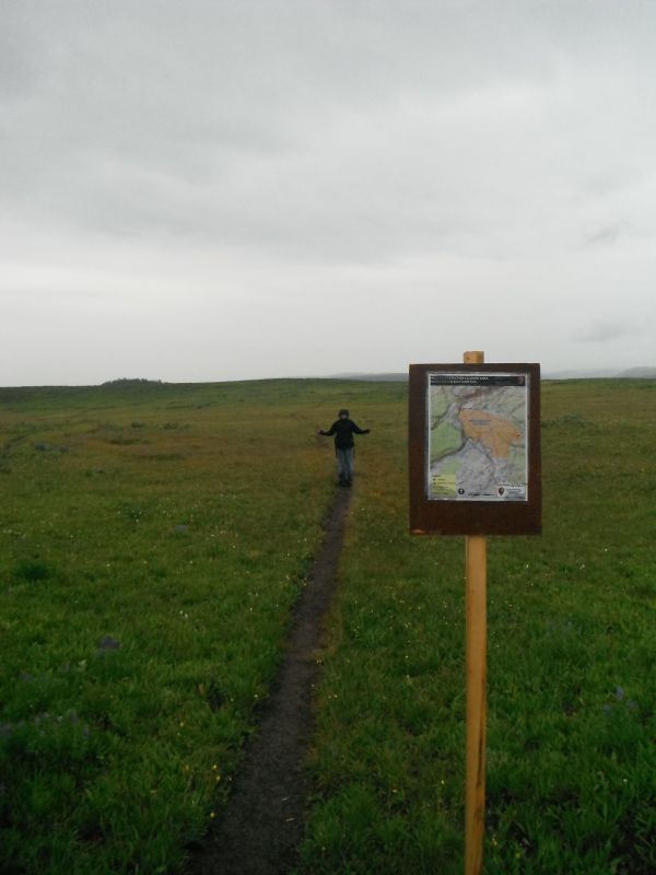
After coming across the two "BUFFALOOOOOOOOOOOOOOOO" we reached some more thermal features with around 4 1/2 miles of hiking down.
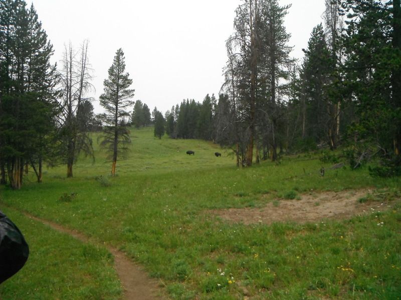
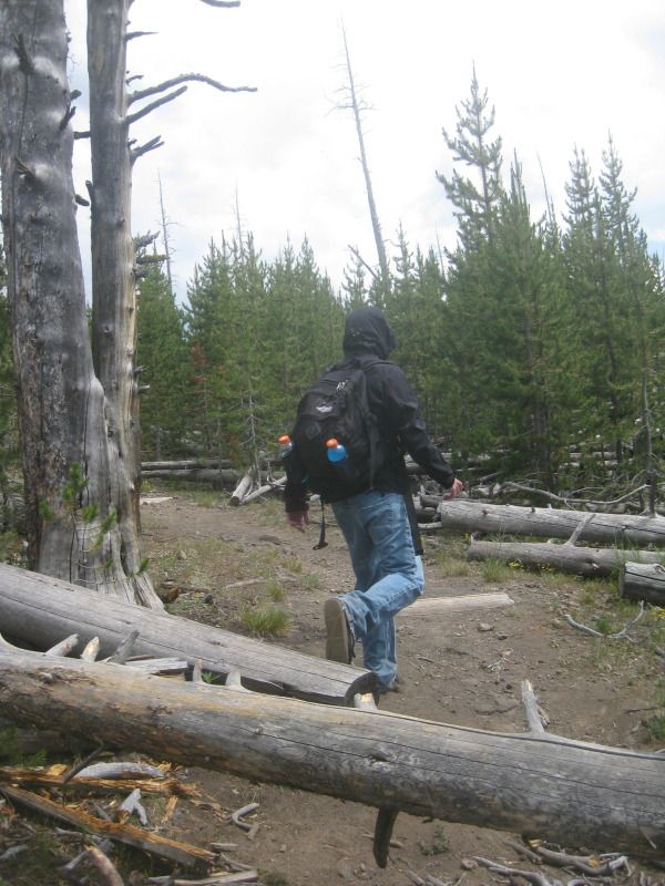
With close to 5 miles down and 1 mile to go the trail opened up a bit, which unfortunately meant more bison. We tried moving forward some and the bison kept getting closer to the trail. We bushwhacked through a ton of downed trees, which probably added 1/2 a mile to our hike.
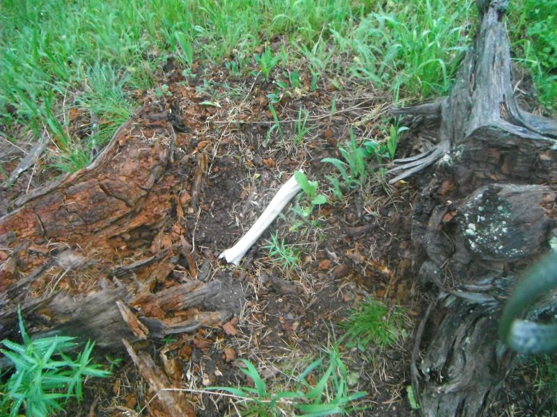
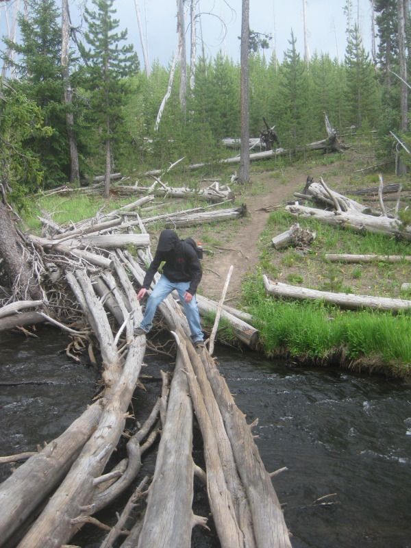
Saw this while bushwhacking around the bison.
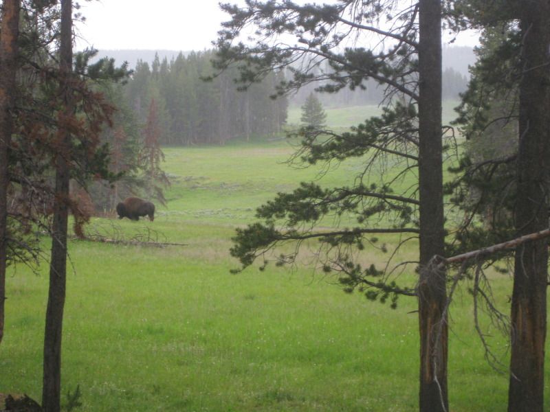
It took nearly 40 minutes to get around the bison across the 1/8 mile stretch. Finally got back onto the trail. The picture below is looking back on the 1/8 mile we bushwhacked around.
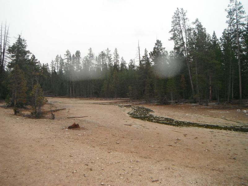
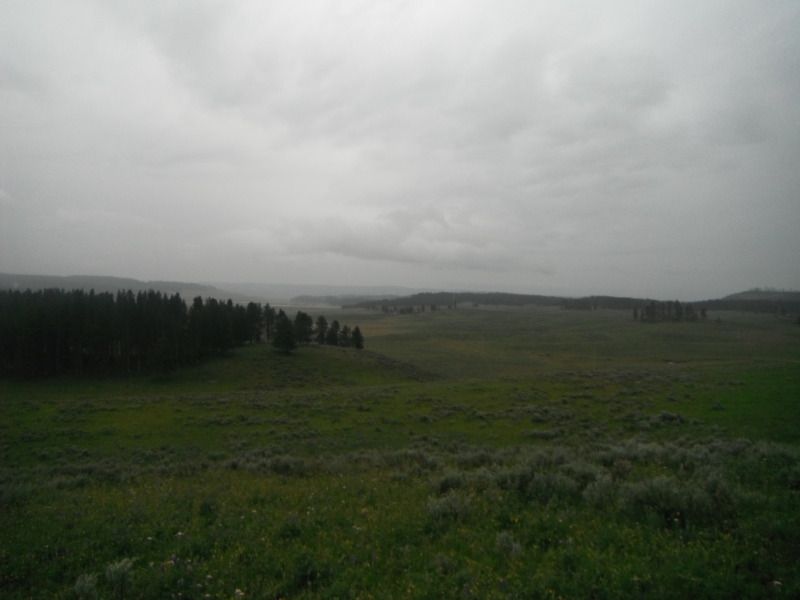
Normally Hayden Valley and the Yellowstone River would be clearly visible, but not so much with the rain falling.
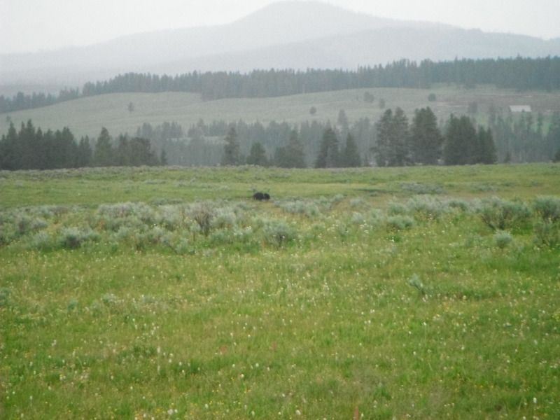
Another bison at around 5 1/2 miles of hiking.
Not sure what I'm doing? Less than 1/2 a mile left.
Made it back alive.
We started the trail at 315pm and were back to the jeep at the trailhead by 630pm. Around 3 1/4 hours to complete the 6 mile round trip. For some reason the meadow areas reminded me of the movie Jurassic Park and Saving Private Ryan. Especially when I was using hand signals for movement direction in the rain near bison.
Comment
-
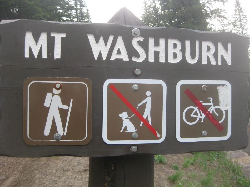
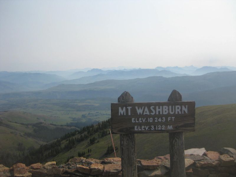
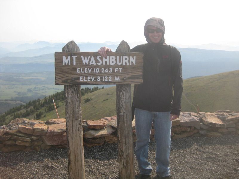
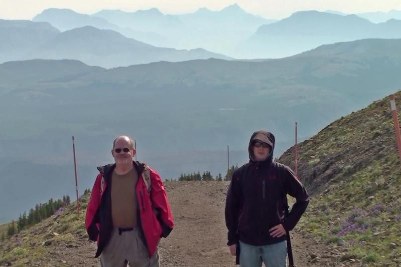
I left Canyon Village, WY around 715am on July 11th with the goal of summiting Mount Washburn.
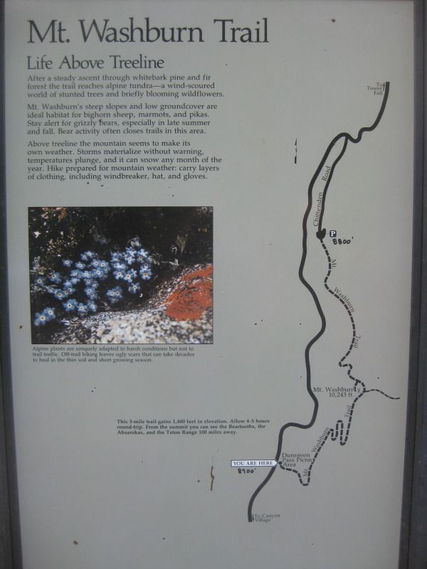
Mount Washburn (elevation 10,243 feet) is the highest peak in the Washburn Range, but only the 31st highest peak in Yellowstone National Park.
The Mount Washburn trailhead (elevation 8,859) is only around 5 miles north of Canyon Village where I live. Left around 730am.
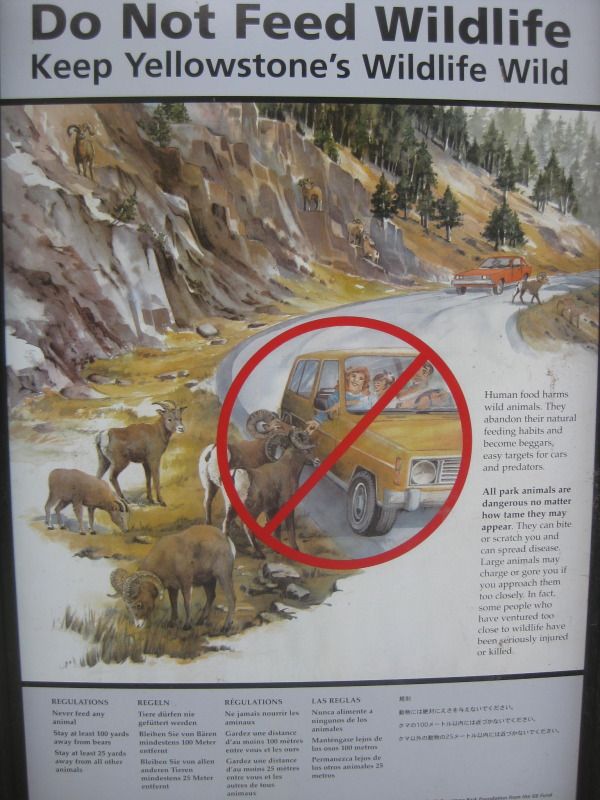
Feed the bighorn sheep or don't. Actually saw a bighorn sheep ram a car after being honked at December 2011 in Big Sky, MT.
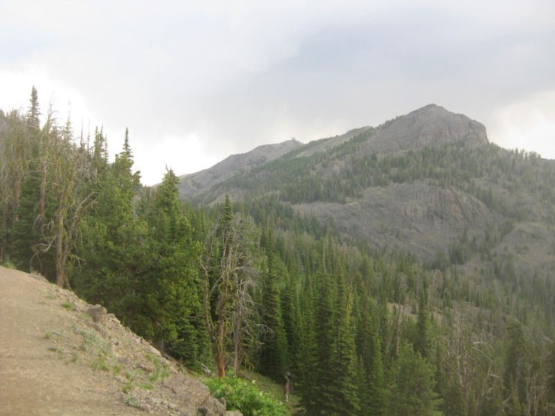
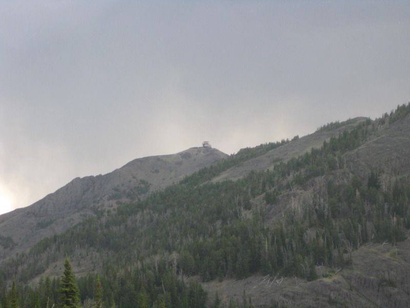
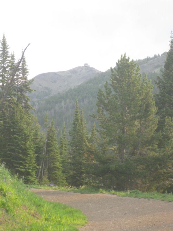
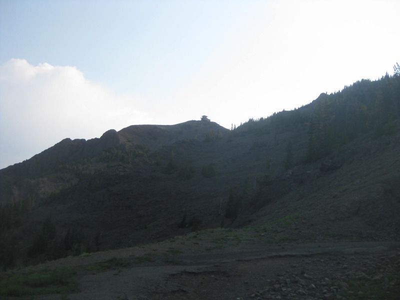
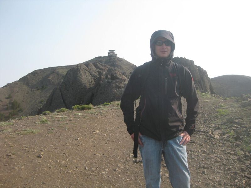
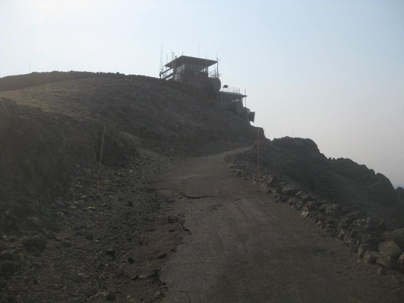
First view of the summit building less than a 1/4 mile into the trail.
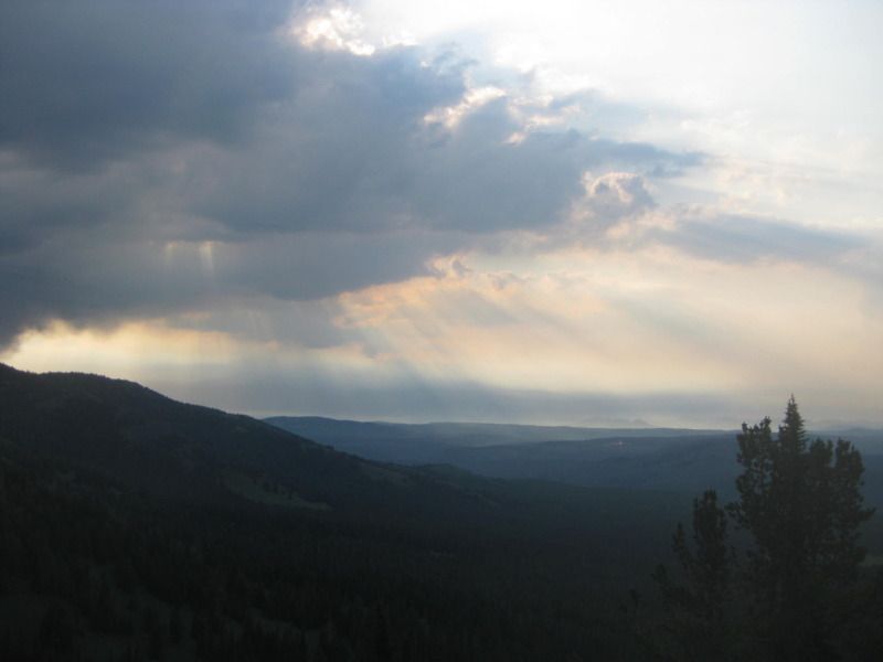
Sky on the way up with Mark's $1,500 camera.
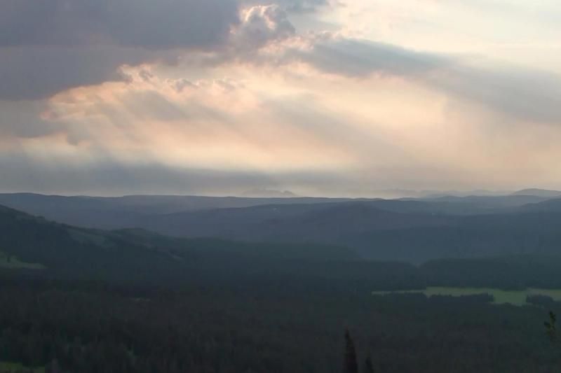
Sky on the way up with my $200 camera.
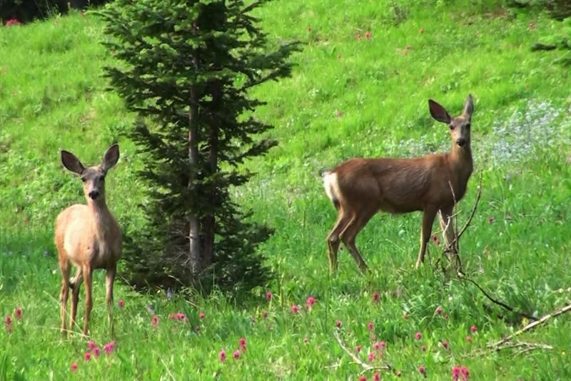
Some deer near the trail, who were apparently looking at a black bear on the other side of us that Mark saw, but Gary and I didn't. (Mark's camera)
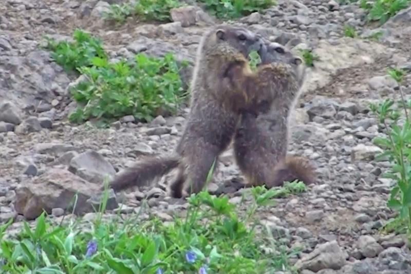
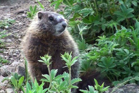
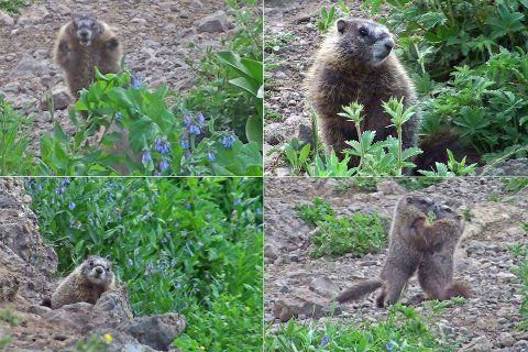
Marmots at play near the trail. (Mark's camera)
Comment
-
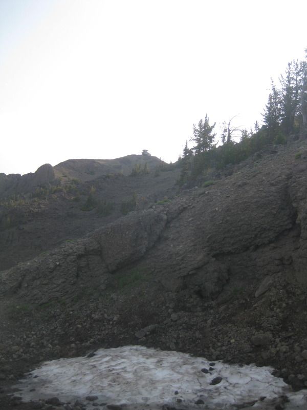
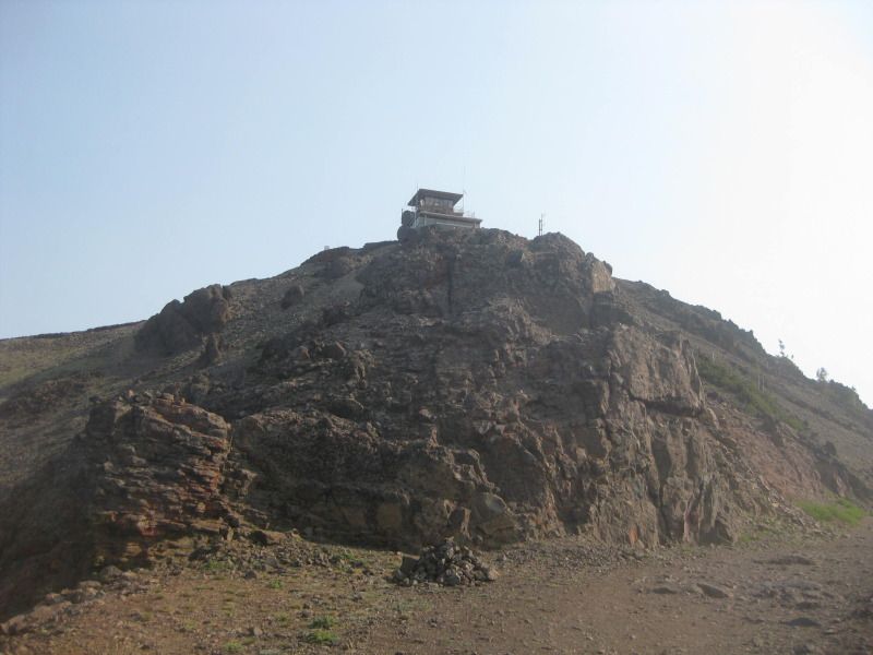
The summit building in view again around 1 mile into the trail.
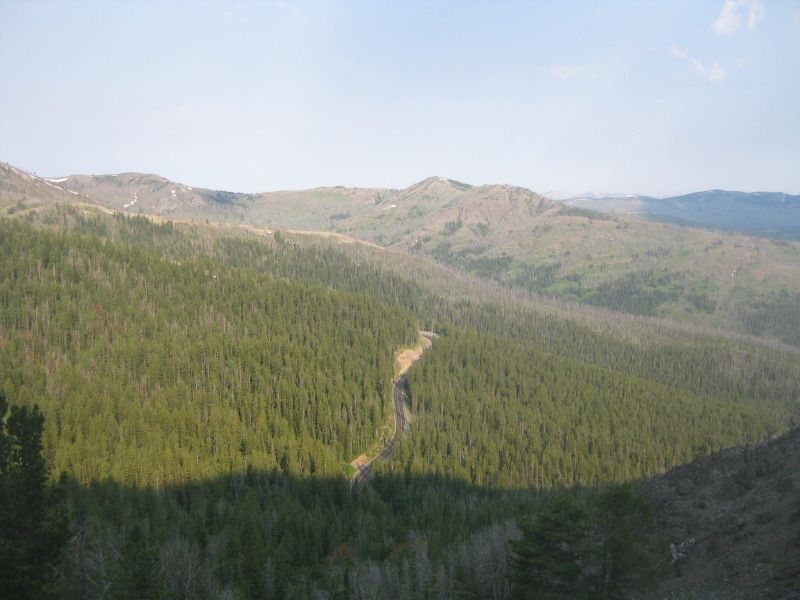
The road below.
The switchbacks started.....
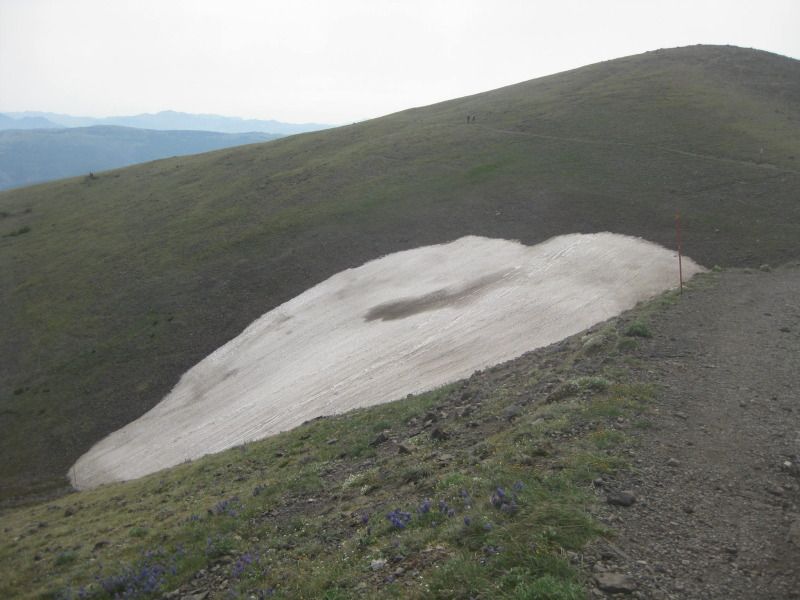
Snow patch on the ground. (July 11th)
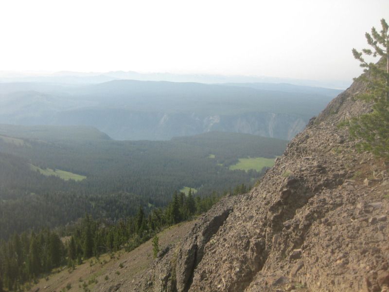
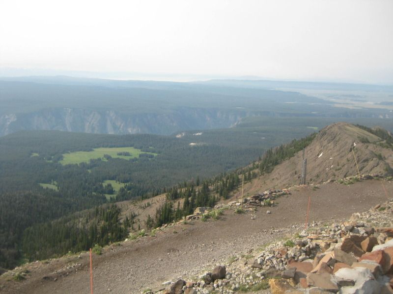
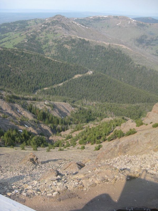
Pretty good view. Grand Canyon of Yellowstone in the foreground.
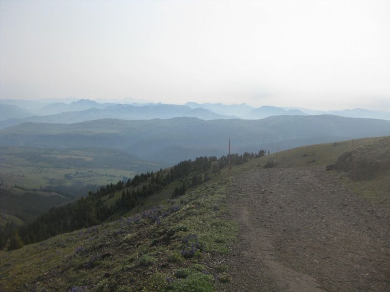
Around 2 miles into the trail. Getting close!
Comment
-
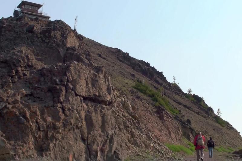
About 2 1/2 miles into the trail. Getting there.....
Definitely above the tree line.
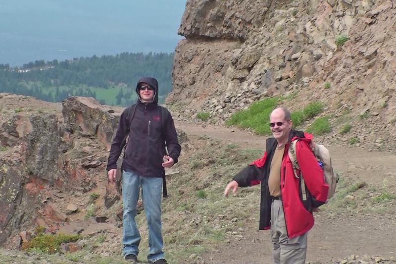
Gary and I heading towards the summit. (Mark's camera)
3 miles hiked. Only a 1/4 of a mile left.
Looking back down the trail.
So close.....
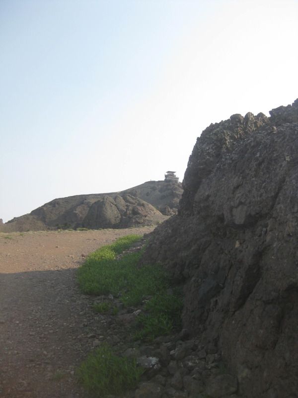
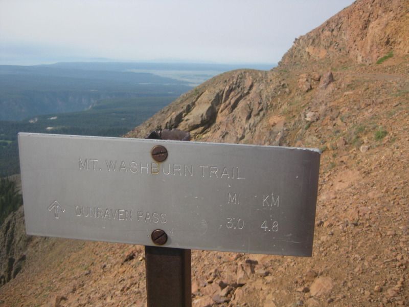
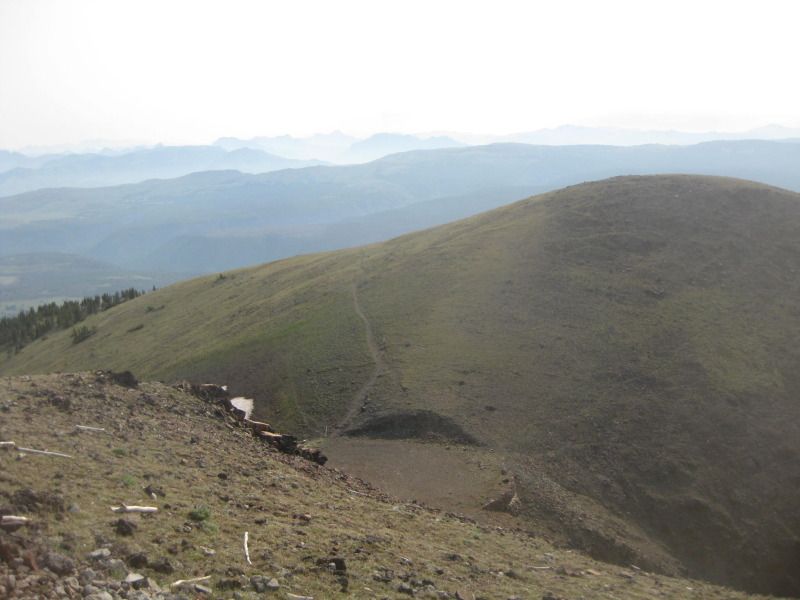
100 feet from the top. Mount Washburn spur trail in the background, which we did not take.
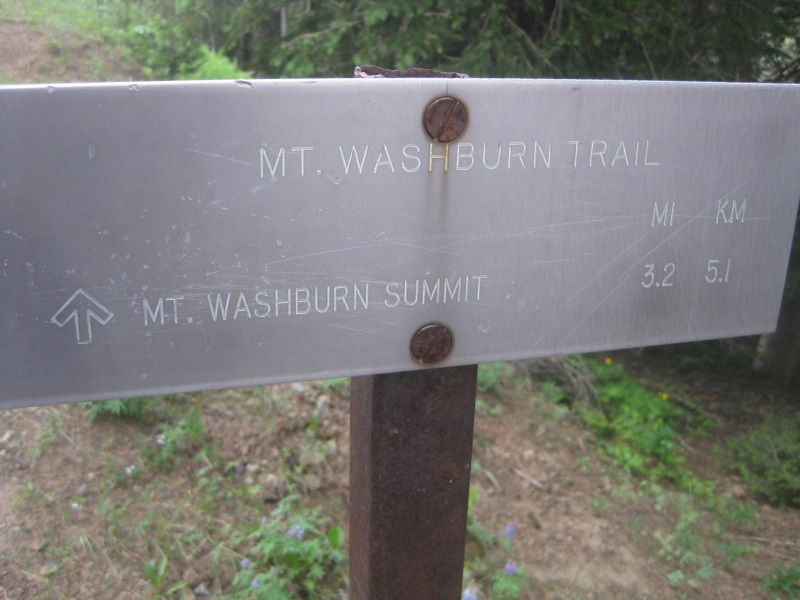
That is a 16 1/2 mile trail round trip to the top that starts near where I live.
We took a 6 1/2 mile trail round trip to the top.
Summit! 3 1/4 miles hiked. 1,384 vertical feet.
Took approximately 2 hours. 730am to 930am. I'm 30 & I was with a 45 and 65 year old. So we took our time.
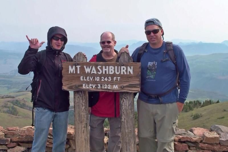
Me, Gary, & Mark. (Mark's camera)
 Last edited by BOX; 07-25-2012, 10:40 PM.
Comment
-
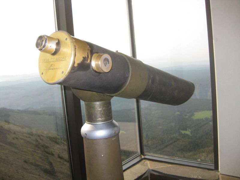
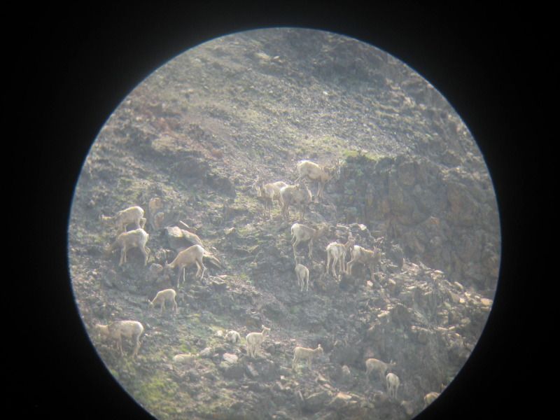
Old school telescope in the summit building.
There is a ranger that lives in the summit building when Dunraven Pass opens for the season and generally stays for 3 to 4 months. Spoke with him for a few minutes and he doesn't leave the summit the entire season. He gets resupplied every 2 weeks. The building is an old fire tower, which is what the NPS (National Park Service) uses it for. He also had a ridiculously nice scope in his personal residence upstairs.
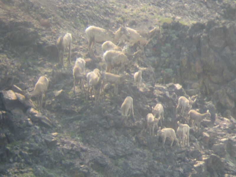
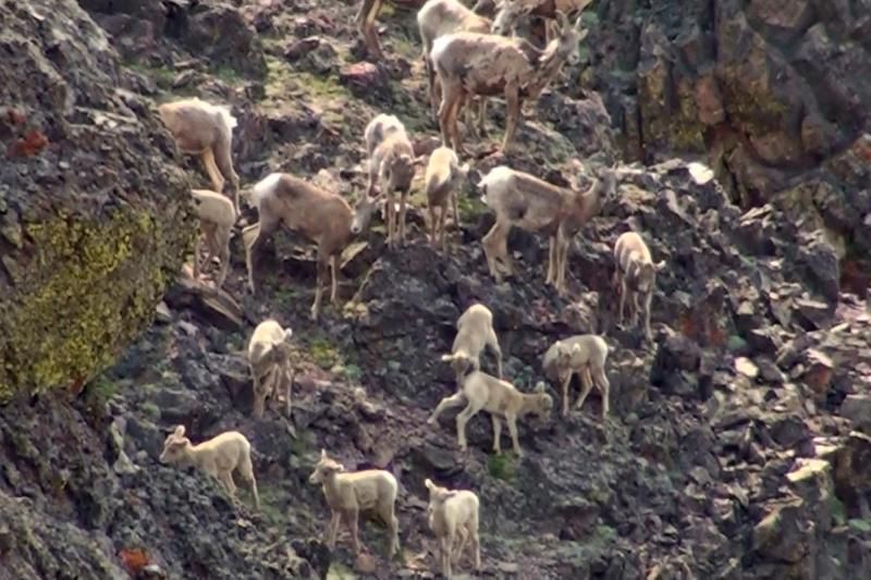
Snaped these pictures with my camera through the scope. A bunch of female and baby (ewes) big horn sheep.
Mark's Camera. No scope needed.
Comment
-
Picture from inside the summit building. Outside to the right you can see some of the trail we came up. Outside to the left you can see some of the Grand Canyon of Yellowstone.
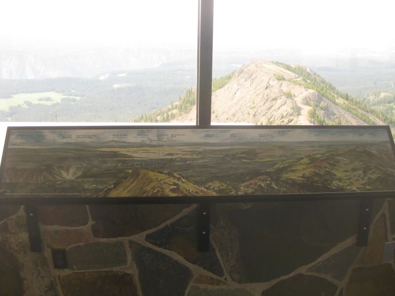
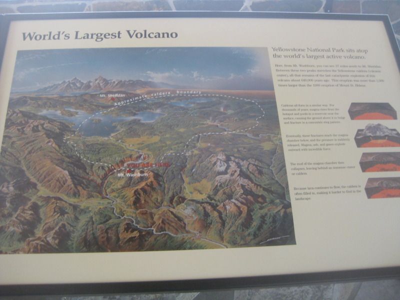
Another picture inside the building. Mount Washburn apparently doesn't sit on the world's largest volcano, but where I live is on the volcano.
Yellowstone has over half of the world's thermal features, which include hot springs, mudpots, steam vents and geysers.
Fire tower.

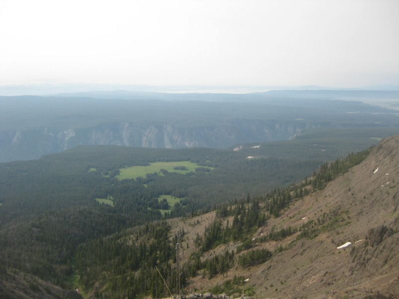
Picture from the lookout deck looking southeast. Grand Canyon of Yellowstone is visible. So is Lake Yellowstone in the background. Visibility wasn't the greatest because of the fires we had been having. None in Yellowstone, but the smoke can travel far.
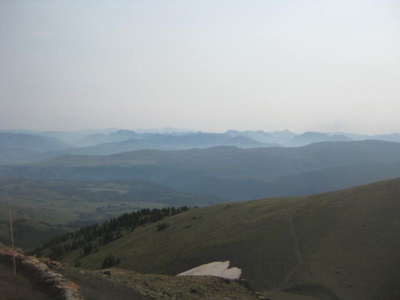
Picture from the lookout deck looking northeast.
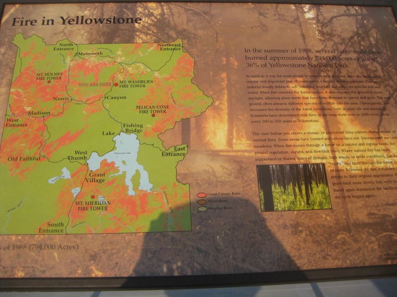
Another picture from inside illustrating the 1988 Yellowstone fires.
The road below.
Comment
-
Snowfield within a few hundred feet of the summit.
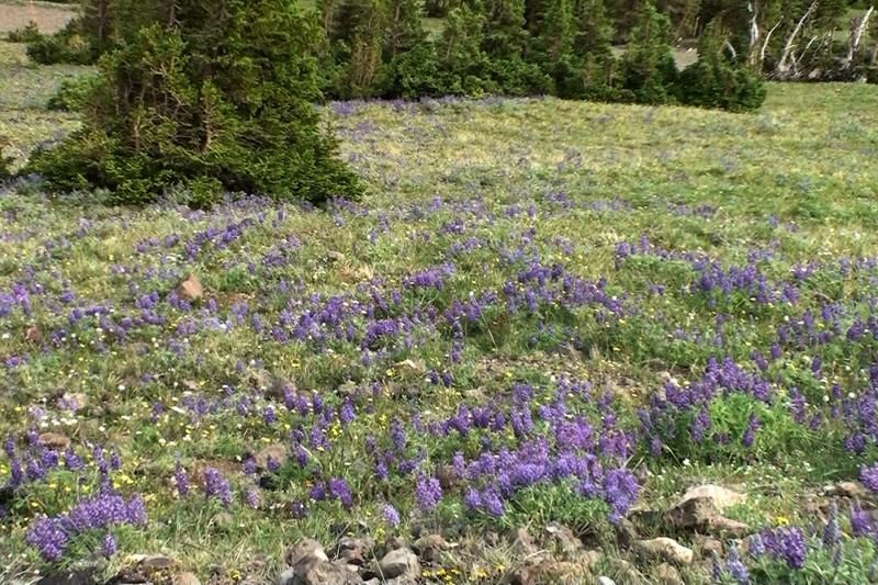
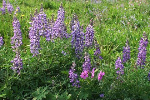
Wildflowers on the way down. (Mark's camera)
Gary and I on the way down not far from the top. (Mark's camera)
We started the trail at 730am and were back to the jeep at the trailhead by 1130am. Around 4 hours to complete the 6 1/2 miles round trip with 1,384 feet of elevation gain.
We spent almost 45 minutes on the summit.Last edited by BOX; 07-23-2012, 11:56 PM.Comment
-
preview of an upcoming write up.....
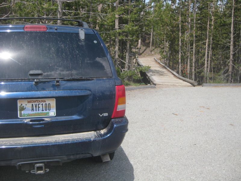
I left Canyon Village, WY around 130pm on July 13th (Friday) with the goal of hiking from the Ice Lake trailhead to the Cascade Lake trailhead.
Left my girlfriend's Jeep at the Cascade Lake trailhead which is around 1 1/2 miles north of Canyon Village where I live.
We started hiking from the Ice Lake trailhead which is around 8 1/2 miles west of Canyon Village.
The hike is 10 1/2 miles long. Left around 200pm.
Comment
-
Originally posted by BOX View PostOriginally posted by HeavyMetal View PostMy current Canon SD1100 is 8.0MP with 3X zoom & came out in January of 2008.Originally posted by BOX View Post
Thinking of getting a Canon 510HS which is 12.1MP with 12X zoom & came out in August of 2011. Found one on Ebay new with a 16GB memory card for $239 shipped.
There is also the Canon 550D which is 18.0MP & came out January of 2010. Found one on Ebay new with a 16GB memory card for $719 shipped.
Finding it hard to justify paying over $700 for a camera, when I know the $239 one will be a lot better than my current camera.Comment
-
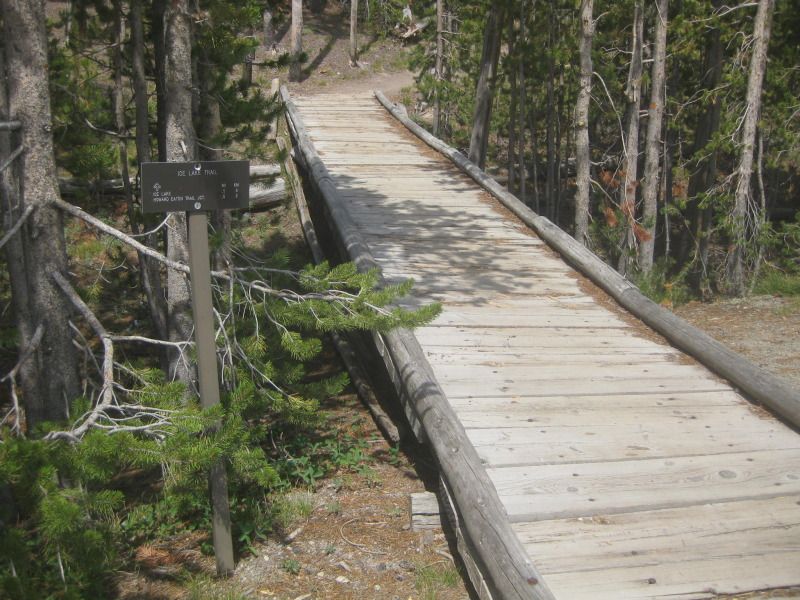
Left the Ice Lake trailhead around 2pm (elevation 7,825 feet).
1/2 a mile to Ice Lake.
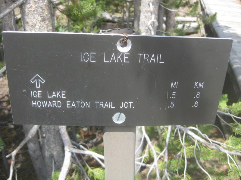
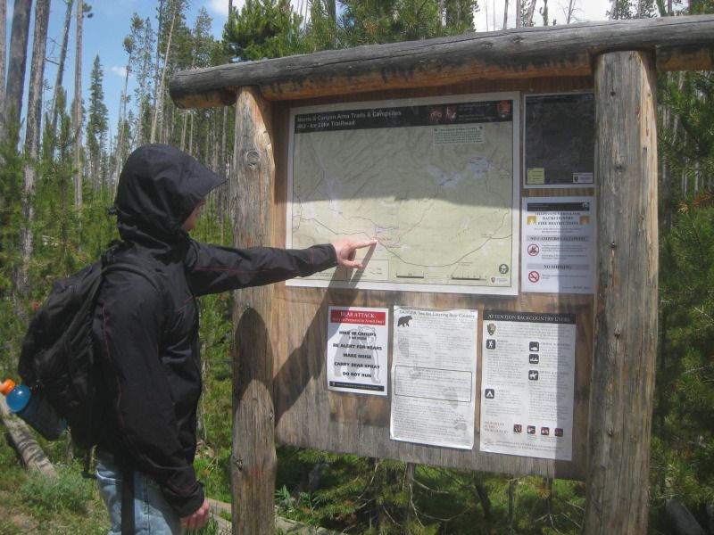
Showing my gf where we are on the map. Our destination is way off the map. Only Ice Lake & Wolf Lake are visible on the map.
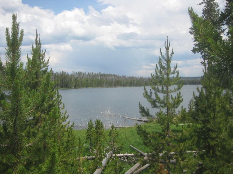
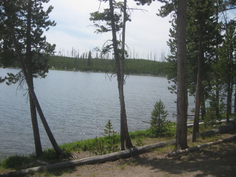
First view of Ice Lake, which ended up being a very long lake.
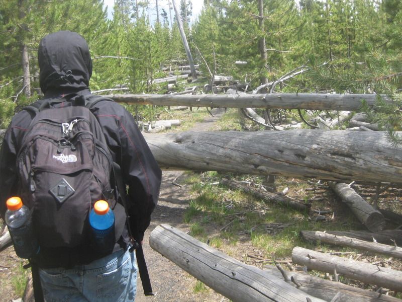
This is what a lot of the trail looked like. Not much cover from the sun because the trees are only 24 years old due to the fires of 1988.
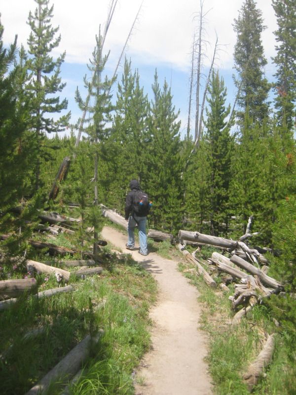
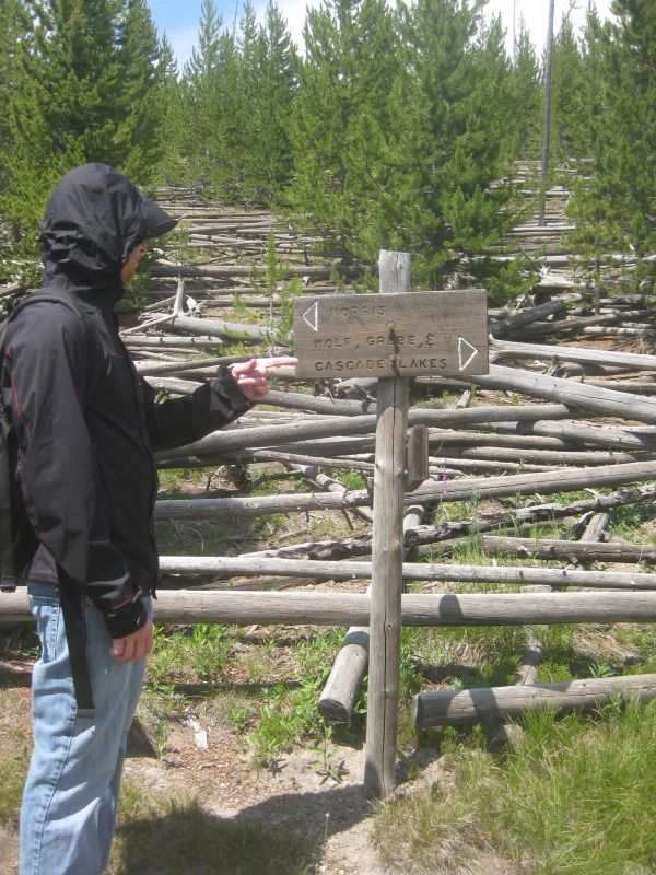
1/2 a mile into the trail. Heading towards Wolf Lake, Grebe Lake and Cascade Lake.
Comment
-
Ice Lake. Few hundred feet across, but it looked a 1/2 mile long.
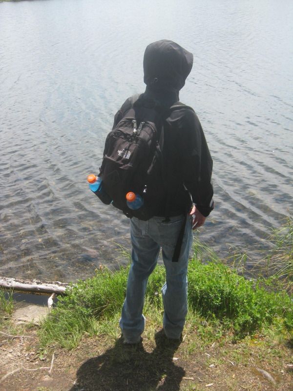
Checking out the lake.
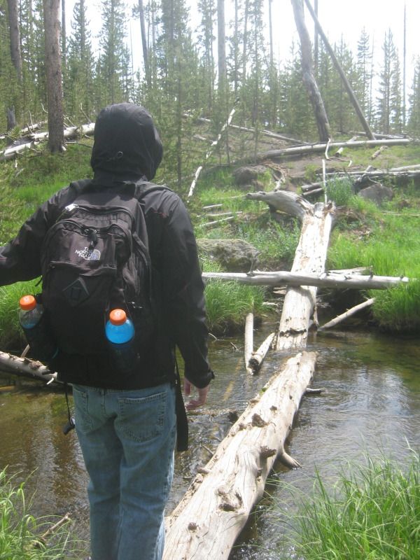
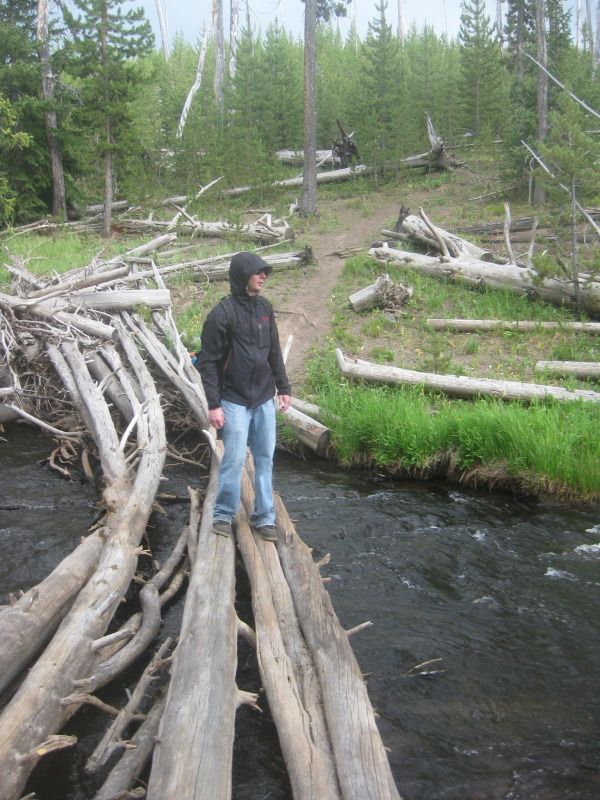
Crossing the Gibbon River for the first time of the day. The headwaters / source of the Gibbon River is Grebe lake.
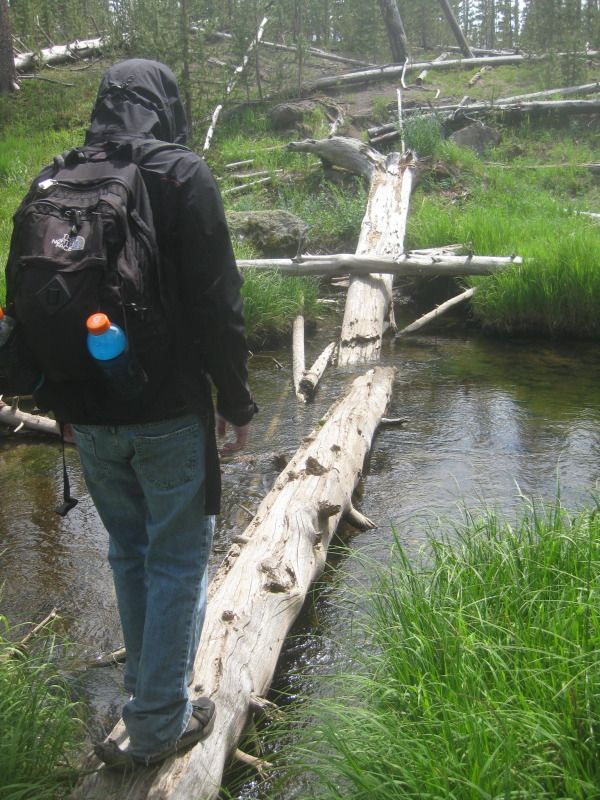
There was a lot of lodgepole pine strewn across the trail in spots.
Crossing the Gibbon River for the second time of the day.
Comment
-
Epic Doug is epic in the last picture.2000 XJ: "The Black Jeep"MK2 Jetta > M3Chairman of the Chechnyan Space ProgramComment


Comment